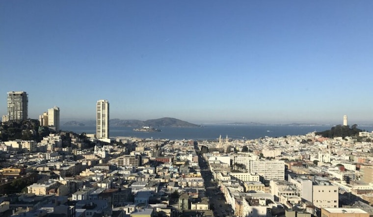
San Francisco is waking up to a Monday that’s actually looking fairly decent, assuming you aren't already mourning the fact that it's Monday. We’re looking at mostly sunny skies and a high near 59°F—which, let's be honest, is basically "San Francisco summer" attire for some of you. The morning might start with some of that classic, low-slung grayness in the usual spots, but it should burn off by midday, leaving us with a crisp, pleasant afternoon across the city.
Afternoon Vibes and Light Breezes
Highs will peak around 59°F before things start to get that late-January chill once the sun dips. While the Sunset and Richmond might feel a bit of that Pacific bite, inland neighborhoods like the Mission and Hayes Valley should feel relatively balmy. Winds are staying polite today, coming out of the east at a gentle 2–6 mph, so you won’t have to fight a gale just to cross Market Street. It's the kind of day that justifies a light jacket you'll likely leave on the back of a chair by 2 p.m.
The "Is It Rain?" Situation for Tuesday Night
Don't get your hopes up for a real car wash just yet. A weak weather system is eyeing the coast for Tuesday night into Wednesday morning (January 27–28). The National Weather Service San Francisco says the North Bay is the only place likely to see anything measurable, and even then, we're talking less than a tenth of an inch. For the rest of us in the city and down the Peninsula, "rain" might just mean a few annoying sprinkles on your windshield during the Wednesday morning commute.
Commuter Fog and Bridge Visibility
If you’re coming in from the East Bay or the South Bay tomorrow morning, expect the usual pea-soup routine in the valleys and near the bridge approaches. Patchy fog is expected to settle in overnight, which could make the morning crawl even slower than usual. If you’re driving, do everyone a favor and stick to the low beams. Transit and ferry services are currently on a "business as usual" track, but as anyone who relies on Muni knows, it’s always worth checking for alerts before you head out the door.
The Weekend Outlook
Once we clear that mid-week dampness, the pattern shifts back to dry and slightly warmer. We’re looking at highs creeping into the low 60s by Friday and holding through the weekend. There was some chatter about another round of rain for next Sunday, February 1, but the latest models are leaning toward a drier, "maybe next time" scenario. It’s looking like a solid window for outdoor plans, though you know the drill: keep a layer handy because the Bay Area likes to change its mind at 4 p.m.


