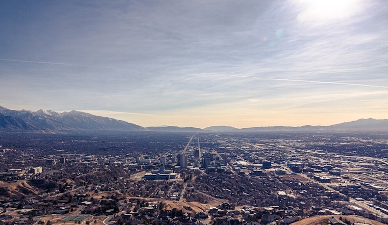
Salt Lake City is kicking off Saturday, January 24, under a gray blanket of clouds and temperatures hovering near 25°F, but the gloom will not last. By mid-day, sunshine should punch through for a bright afternoon, even if the high only tops out around 35°F. Northwest breezes stay on the lighter side, so it will be crisp rather than blustery along the Wasatch Front. Skies clear late Saturday night, setting up a noticeably colder pre-dawn Sunday, January 2,5 that will feel even sharper once the wind chill kicks in.
Today and Tonight
Mostly sunny skies are on tap for Saturday, January 24, with a high near 35°F and northwest winds running about 2–8 mph. Tonight, the clouds exit and skies clear with a low near 19°F and light southeast breezes. According to the National Weather Service, most valley locations stay dry while any leftover light snow keeps to southern and central Utah.
Sunday Morning Chill
Sunday, January 25, will eventually warm into the upper 30s by afternoon, but the real story comes before sunrise. Clearing skies and light winds will let temperatures sink quickly overnight, producing wind chills in the mid-teens along the Wasatch Front and in the single digits for several other valleys. Early-morning commuters will want an extra layer and a few more minutes to deal with any lingering slick spots on untreated surfaces.
Statewide Notes and Travel
While Salt Lake City itself looks relatively calm, the broader forecast discussion flags gap winds developing this afternoon and evening in parts of southwest Utah, with localized gusts near 40–50 mph possible. The NWS forecast discussion also notes that no watches or warnings are in effect for the Salt Lake City area as of Saturday morning. Travelers heading south should secure loose items and check the latest updates before hitting the road. Otherwise, look for steadily improving conditions and a gradual warm-up into the upper 40s by Wednesday.


.jpg)