St. Louis woke up in deep-freeze mode Saturday, with clear skies, a biting northwest wind and thermometers barely scraping 9°F. In the coldest spots it felt like the negative teens on exposed skin, so this is not the morning to skip the heavy coat and gloves. Even with mostly sunny skies, expect only modest warming this afternoon and plan to bundle up for any trip outside.
According to the National Weather Service, highs today should top out near 20°F with northwest winds around 6 to 10 mph and wind chill values dipping to about −10°F. Tonight stays brutally cold and mostly clear with a low near 4°F, then Sunday offers at least a small break with temperatures climbing into the low 30s. The National Weather Service also highlights a 20 to 30 percent chance of light snow Sunday afternoon and evening north of I‑70, with any accumulation expected to be light, around a quarter inch or less where it does fall. The next shot at rain or snow moves in Tuesday into Wednesday.
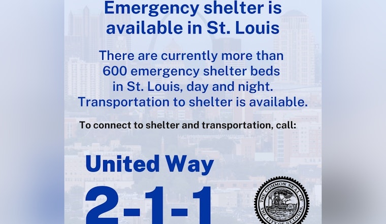
Shelters And Safety
The City of St. Louis recently activated additional shelter capacity during Code Blue responses earlier this month and lists walk up sites along with rally points where people can get transportation to shelters. Anyone who needs a warm place, or is trying to help someone without heat, is urged to call 211 for the latest shelter locations and pickup details. Transportation from rally points to shelters has been available during recent activations and may be offered again depending on demand.
Sunday And Early Week
Sunday brings a modest warm up with highs near 31°F, although a narrow area north of I‑70 holds that slight chance for light snow after noon. Any flakes that do fall are expected to be minor and short lived. Looking ahead, forecasts show another system arriving Tuesday into Wednesday that could bring mixed precipitation to parts of the region. Forecasters note that confidence in the exact track and in which areas see which precipitation type remains low, so anyone with outdoor plans early next week should keep an eye on updates.
What This Means For Your Commute
Bridges, overpasses and untreated sidewalks are the spots most likely to turn slick during the coldest hours, so build in extra time and take it slow, whether you are walking or driving. If you are behind the wheel, warm up your vehicle before heading out and keep a small winter kit on hand. Transit riders should be ready for occasional delays and check rider alerts, especially if traveling around midday. The light snow chance Sunday north of I‑70 could briefly worsen travel in that corridor, although major disruptions are not expected based on the current forecast.
Through the rest of the weekend, keep monitoring updated forecasts and check shelter resources if you or someone you know needs help staying warm. Local emergency pages and the National Weather Service will have the latest information.


