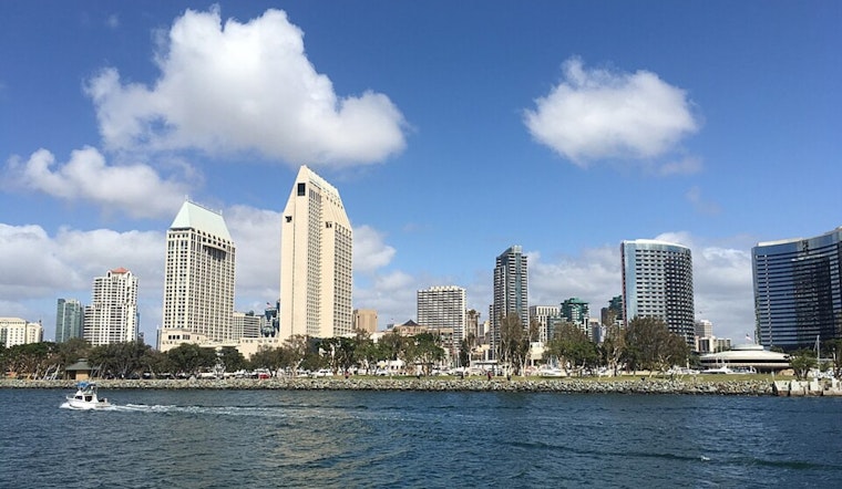
San Diego is kicking off Saturday, January 31, 2026, with the kind of weather that feels more like early summer than midwinter. Skies stay sunny through the afternoon, with inland valleys climbing to around 81°F while the immediate coast hangs back in the 60s to low 70s. It is a solid day for errands, beach walks, and outdoor plans, but residents may want to keep an eye on how conditions evolve later in the weekend.
Afternoon Heat And Building Surf
High pressure combined with a weak offshore flow will push afternoon temperatures well above normal, sending many inland neighborhoods to around 80 to 81°F. Breezy offshore winds are favored along the coastal slopes and through mountain passes, where gusts could reach 25 to 35 mph in wind-prone foothill areas.
Forecasters are also watching the coast. Patchy to locally dense fog may return late Sunday night into Monday and again Tuesday morning. A fresh northwest swell arriving late Sunday night into Monday morning is expected to bring breaking waves of 5 to 7 feet, with some sets up to 8 feet. Morning high tides near 6 to 6.5 feet could cause minor tidal overflow on low-lying beach walkways on Monday, February 2, 2026. No watches or warnings are in place at this time, according to the National Weather Service San Diego.
Fog Could Snag The Morning Rush
Late Sunday night into the early hours of Monday and Tuesday, patchy to locally dense fog is possible along the immediate coast and nearby lowlands, with visibility reduced before about 10 a.m. That could slow early commutes on coastal routes like I-5 and I-8 and may affect airport ground operations. Travelers heading out early should allow extra time and stick with low-beam headlights when visibility drops. Once the fog lifts, afternoons are expected to clear to mostly sunny skies.
Looking Ahead: Warm Week With Offshore Winds
As the new week unfolds, an upper level ridge rebuilds over the region, and ensemble guidance points to a return of weak to locally moderate offshore (Santa Ana) winds from Tuesday, February 3 through Friday, February 6, 2026. That pattern could trigger another stretch of above-normal temperatures and breezy conditions in passes and foothills.
There is also the possibility that a closed low forms beneath the ridge later in the week, which could take some of the edge off the warming trend. For now, forecasters are urging residents to keep tabs on updates from the National Weather Service San Diego as details become clearer.
Quick Tips For The Next Few Days
Heading to the beach Monday morning? Stay out of the water and give low-lying walkways a wide berth in case of minor tidal overflow, while lifeguards keep tabs on larger surf and stronger rip currents. Early commuters should budget extra travel time and stay alert for pockets of thick fog. For outdoor plans today, bring sun protection and plenty of water. The National Weather Service will post updates if conditions shift.


