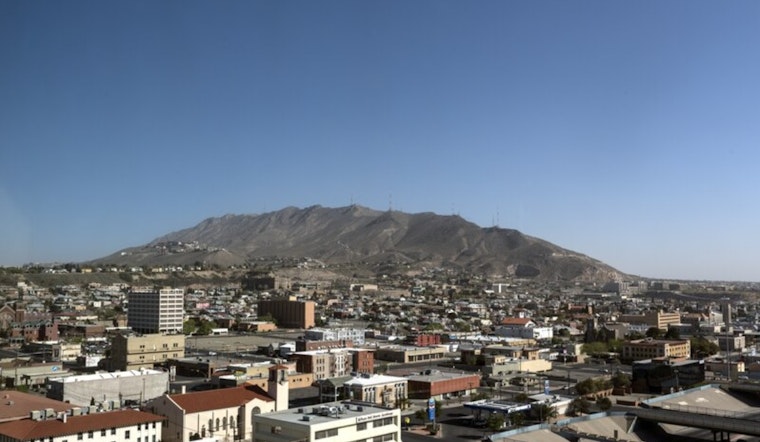
El Paso woke up under clear skies on Wednesday with dry air and a mild start near 64°F at KELP. By afternoon, the sun is expected to crank temperatures up to a high near 83°F, with west winds turning breezy. The combo of low humidity and gusty winds keeps fire weather conditions elevated across exposed desert and lowland areas.
Afternoon Winds Pick Up
West winds are expected to run around 8 to 18 mph this afternoon, with gusts near 28 mph and some pockets along the international border pushing up toward 40 mph from late morning into early evening. Those stronger bursts will be most noticeable in exposed neighborhoods and open desert corridors and could whip up patchy blowing dust that cuts visibility along desert highways. Secure loose outdoor items and keep a close eye on the roads, according to the National Weather Service.
Near-Record Heat Through Weekend
Temperatures stay well above normal through the rest of the week, with highs holding in the low to mid 80s and a warm peak near 87°F on Saturday that forecasters say could challenge a monthly record. Winds ease a bit later in the week, but the air remains dry, so wildfire potential stays elevated. For background on the warm-up and timing, see this February sizzle and dusty winds outlook, published Monday, as per Hoodline.
How To Prepare
Tie down patio furniture, lock in trash bins and skip outdoor burning while humidity stays low and winds stay gusty. Drivers on desert highways should watch for sudden dust that reduces visibility and leave extra stopping distance, and it may be worth delaying non-essential desert trips during the gustiest hours. Anyone with respiratory issues should plan indoor activities during the midday wind window and keep medications and water within easy reach.


