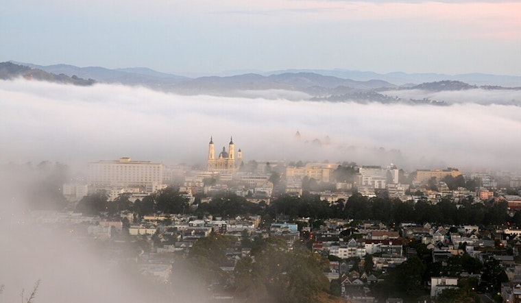
Monday, North Bay commuters woke up to a clear, chilly start, with temperatures in the upper 30s and pockets of stubborn valley fog that will hang around into mid-morning. The fog should thin by late morning, opening the door to sunny skies and highs near 66°F in many inland spots. A high-tide window between about 9 a.m. and 1 p.m. brings a risk of minor flooding along parts of the San Pablo Bay shoreline, while Pacific Coast beaches stay dangerous through this evening thanks to large breaking waves and strong rip currents.
What To Expect Today
Look for patchy fog before about 9 to 10 a.m., then mostly sunny conditions with light west southwest breezes of just a few miles per hour. Highs will climb into the mid 60s, then drop back into the low 40s overnight as skies clear out again. Late tonight, a few low-lying valleys and shoreline areas could see fog return.
Coastal Flooding And Beach Hazards
A Coastal Flood Advisory is in effect from about 9 a.m. to 1 p.m. Monday for bayshore locations along San Pablo Bay, with up to one foot of inundation possible in low-lying areas, according to NWS San Francisco. The San Francisco tidal gauge is expected to hit high tide around 11:12 a.m., which is when most of the minor flooding issues are likely to show up. The NWS also warns of hazardous beach conditions through the evening from long-period swell and sneaker waves, so it is a good day to stay off jetties and out of the surf.
Commute And Safety Tips
Give yourself extra time if your route hugs the bay this morning, and avoid driving through standing water. If you come across flooded streets, turn around and find another route. In foggy stretches, slow down and use low-beam headlights, and check 511.org for real-time road and transit alerts. Boaters and small-craft operators should closely follow marine advisories and consider staying in port until the seas calm.
Looking Ahead
An upper-level ridge is expected to bring drier, above-normal temperatures through midweek, with the warmest readings likely Wednesday into Thursday in interior valleys, according to NWS San Francisco. A weak trough late in the week could bring only a slight chance of light rain, with a more noticeable bump in rain chances possible by Sunday into early next week. If you have outdoor plans later in the weekend, keep checking updated forecasts.


