Portland started Monday, February 2, under a blanket of clouds, temperatures in the mid-40s, and just enough light rain and spotty fog to make the morning commute a bit annoying. Highs are expected to reach around 55°F before sliding into the low 50s by late afternoon. Most of the week is lining up to be drier and noticeably milder, although a few localized trouble spots could complicate travel and conditions along the coast.
This Afternoon And Commute
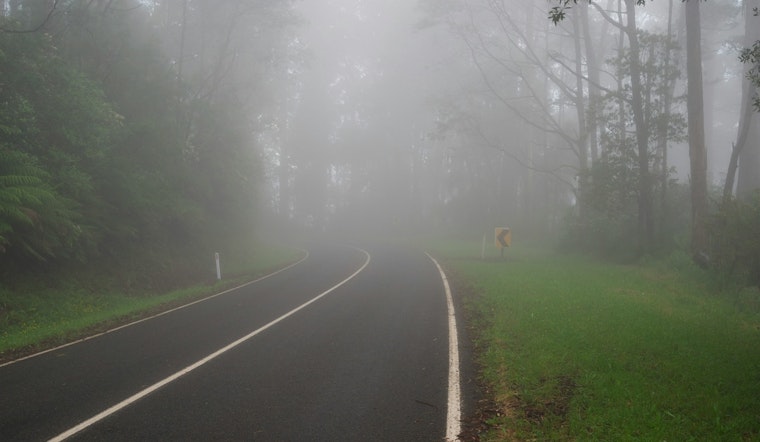
A roughly 40% chance of light rain is in play through about 4 p.m. on Monday, February 2, with patchy fog likely to cut visibility in some of Portland’s lower-lying neighborhoods during the morning rush. Southeast winds should stay light, around 3 mph, so the main headaches will be slick pavement and brief visibility reductions rather than any kind of heavy downpour. Drivers are urged to watch for wet spots on bridges and in shaded corridors, according to the forecast discussion from the National Weather Service.
Where This Fits With Recent Rain
Sunday’s heavier rain left behind puddles and slow-draining streets around the city, and Hoodline’s coverage of the February 1 storm highlighted where the steady showers hit hardest. Monday’s rain is more of a light follow-up act than a sequel, with precipitation expected to be weaker and more scattered before a drier pattern settles in.
Midweek Warmth, Gorge Gusts And Coastal Hazards
Starting Tuesday, February 3, an upper-level ridge is expected to usher in dry, above normal temperatures through at least Friday, February 6, with highs climbing into the upper 50s. The same forecast discussion flags a different kind of weather drama midweek, as easterly gradients through the Columbia River Gorge are forecast to kick up strong winds on Wednesday and Thursday. Gusts may reach 50 to 55 mph near Corbett, up to about 70 mph at exposed spots near Crown Point, and around 35 to 40 mph in the Troutdale area, creating a risk of isolated tree damage and power outages.
Out at the coast, the forecast notes a Small Craft Advisory in effect into the overnight hours, along with a pronounced sneaker wave threat on parts of the shoreline. Mariners and beachgoers are urged to check conditions before heading out, according to the National Weather Service.
Practical Tips
For Monday’s commute, build in a little extra time, slow down on wet bridges and ramps, and keep your headlights on in foggy pockets so you can see and be seen. If you are planning a trip to the coast or heading out on the water, it is a good idea to postpone nonessential outings until advisories expire and to stay well back from jetties and the surf zone while the sneaker wave risk is elevated.
Residents with respiratory issues should keep an eye on local air quality over the next few days, since light winds and shallow mixing could let pollutants build up in valley neighborhoods.


