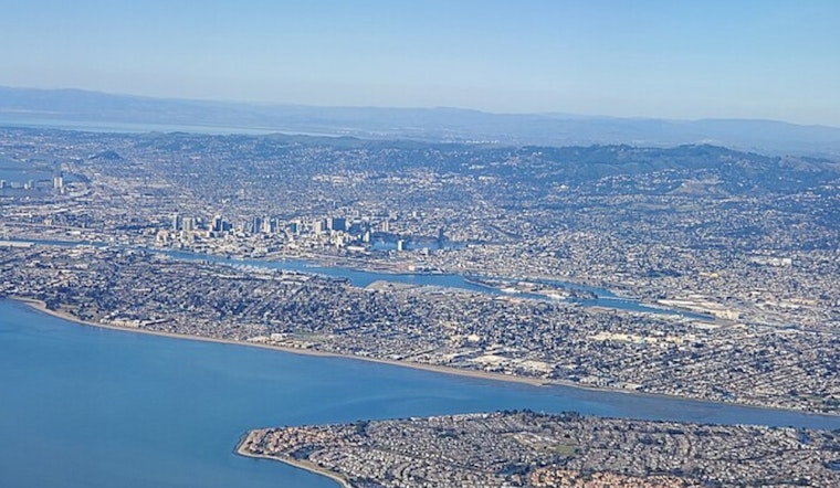
Oakland started Monday under a blanket of patchy fog and a mid-40s chill, but the gloomy start will not last. Forecasters expect the clouds to peel back by midmorning, making way for mostly sunny skies and a mild afternoon high near 65°F.
Morning Fog, Sunny Afternoons
Patchy fog is expected to cling to low-lying East Bay routes through about 9 a.m., especially in valleys and along the shoreline. After that, skies should clear, with a bright, sunny afternoon and a high near 65°F. Temperatures are on track to climb into the upper 60s on Tuesday and Wednesday as a ridge builds overhead, while winds remain light, generally 0 to 5 mph out of the west-northwest this afternoon.
Along the water, it is a different story. Forecasters are calling for minor coastal flooding during the late-morning high tide and hazardous surf along the Pacific Coast. A Coastal Flood Advisory is in effect from 9 a.m. to 1 p.m. Monday for bayshore locations along San Pablo Bay, and a Beach Hazards Statement is up through this evening for 14 to 19 foot breaking waves and an elevated risk of sneaker waves. Boaters are urged to obey active small-craft advisories for nearshore waters today, according to NWS San Francisco.
Commute And Safety
If you hit a pocket of dense fog on valley or shoreline streets, slow down, use low-beam headlights, and leave extra space between you and the car ahead; even short stretches of low visibility can add a few minutes to your commute. Avoid low-lying bayshore roads during the late-morning high tide when you can, and never try to drive through standing water.
Out by the ocean, it is a good day to admire the waves from a safe distance. Stay off jetties and piers and out of the surf, as sneaker waves and strong rip currents will make beaches especially dangerous this evening.


