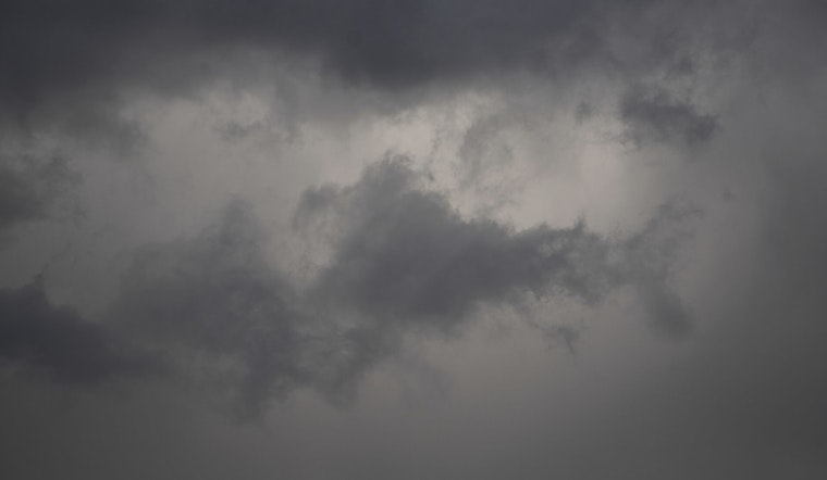
Portland woke up to a soggy Saturday, with light rain back in the mix as temperatures hovered in the low to mid 40s and steady east winds pushed into the 20 mph range. The main shower band is expected to hang over the metro area through the afternoon and evening, with most neighborhoods projected to pick up roughly a quarter to a half inch of rain by tonight. Plan on wet roads, slower drives, and slick bridge decks for the evening commute.
Afternoon Winds Pick Up
East winds will be especially noticeable near the Columbia River Gorge and across parts of east Portland, where gusts around 25 to 30 mph are likely, with pockets closer to 40 mph east of I-205. That raises the risk of sudden crosswinds on I-84, the I-205 bridges, and other exposed stretches of roadway, so high-profile vehicles in particular should use extra caution and residents should secure any loose outdoor furniture. According to the National Weather Service, gusty conditions may hang on into Sunday for some areas near the Gorge.
Coastal And Cascade Hazards
Out at the coast, the water will be no place for casual outings this weekend, with outer waters expected to see seas of 20 to 24 feet and inner waters running in the upper teens. Those conditions are considered unsafe for small craft and risky for beachgoers. A Winter Weather Advisory also remains in effect for the north Oregon Cascades and the Upper Hood River Valley through tonight, with the potential for high-elevation snow and pockets of quick accumulation. Anyone planning to cross the Cascades should check road conditions along with chain and closure information at TripCheck before heading out.
Looking Ahead
Another round of heavier rain is possible Monday into Tuesday as a weak atmospheric river moves in, and where that band ultimately sets up will control who sees the biggest totals. Current guidance points to common metro amounts around three-quarters of an inch in 24 hours, with pockets of one inch or more, while localized totals above two inches could be enough to trigger urban or small-stream flooding. If you have plans early next week, keep an eye on updated official forecasts.
What To Do Now
For now, build in extra time for travel, ease off the gas on wet roads, and steer clear of standing water; never drive into flooded lanes. Tie down loose outdoor items and be prepared for gusty crosswinds on exposed bridges and highway sections. For the latest watches and warnings, check the National Weather Service and ODOT before you head out.


