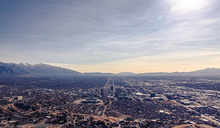
Salt Lake City wakes up under thick clouds and a sharp chill on Friday, with temperatures sitting near 28°F at Salt Lake City International Airport. A slight chance of light snow hangs on through the morning, with afternoon highs expected to top out near 36°F on Friday, February 20. Skies should turn clearer Friday night as temperatures slip toward 19°F, with northwest winds staying generally light.
What To Expect Today
Forecasters at the National Weather Service are calling for about a 20-30% chance of light snow through roughly 2 p.m. Friday, February 20. Most neighborhoods in the Salt Lake Valley can expect less than an inch, or just a dusting. In the mountains, especially across the southern and central ranges, several inches are possible, and a few slopes favored by northwest flow could pick up faster, localized totals.
Travel And Safety
Plan on slick spots where roads have not been treated this morning, and slower-going in the canyons through the day. Check live cameras and road alerts on UDOT Traffic before heading for the higher passes. Salt Lake County continues to list winter shelter options and runs a resource line at 801-990-9999 for anyone in need of a warm place to stay. With overnight wind chills making it feel even colder, bundle up, keep an eye on pets, and check in on vulnerable neighbors. If you have to drive, bring traction devices, slow down, leave extra space, and remember that high-profile vehicles can still feel the wind on exposed stretches.
Looking Ahead
High pressure settles in this weekend and starts a warming trend. Highs should reach the mid-40s on Saturday, then climb into the low 50s by Sunday and Monday. The National Weather Service is also flagging a stronger shot at valley rain and mountain snow by midweek, with ensemble guidance pointing to roughly a 70% chance of moisture returning around Wednesday. For more on the evolving pattern and midweek timing, see our earlier preview on gusts, slush and slow canyons, as per Hoodline.


.jpg)