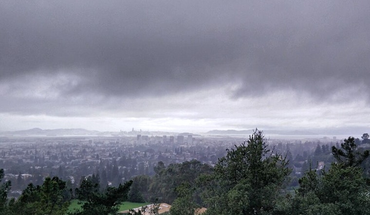
Oaklanders woke up to a soggy start today, with steady rain and gusty southwest winds pushing temperatures into the upper 40s. Forecasters expect showers and thunderstorms to hang around through the morning and into the afternoon, with a daytime high near 53°F before readings slide back into the upper 40s later today. Drivers should plan for slower commutes and localized ponding in low spots when the heavier bursts of rain move through.
Showers And Thunderstorms Through The Day
Rain is likely before 7 a.m., followed by a band of showers and thunderstorms that will swing through and bring periods of heavier rainfall, adding up to roughly three quarters to one inch in some areas, according to NWS San Francisco. Brief downpours and occasional lightning are on the table, and the more intense cells can quickly cut visibility and create those splash-and-go puddles on the roads. Temperatures should top out near 53°F, then dip back into the high 40s by late afternoon.
Afternoon Winds And Commute
Southwest winds are expected to ramp up to 15-24 mph this afternoon, with gusts up to about 35 mph and potentially stronger in exposed hills. Small branches could come down and some isolated power flickers are possible. Commuters should ease off the gas where water collects, give themselves extra time, and high-profile vehicles should be especially careful in crosswinds. Transit riders with tight connections may want to check agency alerts before heading out.
Coastal Flooding Risk
A Coastal Flood Advisory remains in effect through Tuesday afternoon for Bay shorelines, with up to about 1.0-1.2 feet of inundation possible in low-lying areas along tidal waterways, as noted by NWS San Francisco. The San Francisco tidal gauge is expected to see its peak near mid-morning, and storm surge can give high tide an extra push, worsening impacts. Drivers are urged not to plow through flooded streets and to respect barricades where they are set up. If you have to travel, build in extra time and steer clear of known low spots near the water.
Help For Vulnerable Neighbors
Cold, wet weather can be dangerous for people without shelter, as well as for vulnerable pets and plants. The city advises calling 2-1-1 for warming-center locations and other resources, per the City of Oakland. If you see someone outside who appears to need help, you can contact outreach teams or dial 2-1-1 to connect them with assistance. Protect potted plants and exposed pipes, and bring pets indoors when you can.
This multi-storm stretch was already on the radar in a story last Saturday; for background, see storm parade set to soak San Francisco all week. Today's morning’s Coastal Flood Advisory and the stronger, gustier bands of rain mark a more urgent phase of that same system.
More rain is on tap later this week, with additional rounds possible through the weekend. It is worth keeping an eye on updated forecasts and local advisories as conditions evolve. For the latest watches and warnings, follow NWS San Francisco and local city pages before heading out.


