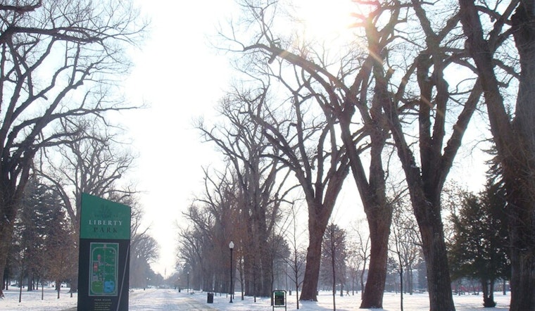
Salt Lake City woke up to clear skies and a brisk 30°F at Salt Lake City International Airport on Saturday morning, with afternoon highs set to climb into the low to mid 50s. Sunday looks similarly mild before a sharp pattern change early next week. It is a good weekend for dry roads and comfortable afternoons, because the next round of storms looks a lot more serious for the mountains than for the valley, starting Monday night.
Weekend Snapshot
Mostly sunny skies should hold through Sunday, with south to southeasterly breezes around 5 to 10 mph and overnight lows near freezing in many valley neighborhoods. That adds up to pleasant afternoons for errands or short hikes, but a cold start for early commuters and school drop-offs. Canyon routes should stay in good shape for now, although a few early morning slick spots are still possible near higher elevations.
Storms Next Week
The pattern flips Monday night as a series of Pacific storms moves into Utah, bringing valley rain Monday evening and heavy mountain snow through midweek. Colder air will turn some of that precipitation over to snow in parts of the valley Tuesday night into Wednesday. According to the National Weather Service, mountain totals could be measured in feet, while valley accumulations are expected to stay on the modest side, with current guidance showing a modest chance for around an inch of new snow in the valley Tuesday night. Winds will gust strongest along ridgelines and across western counties, so canyon and pass travel may become hazardous as these systems arrive.
How To Plan
If you are heading into the canyons or up to the ski areas, plan on extra travel time from Monday night through Thursday, and check road conditions before you go. We first flagged this developing pattern in an earlier Hoodline post, and this update primarily refines the timing and underscores the threat of heavier mountain totals. Bring traction gear and an emergency kit if you plan to drive into the mountains, and keep an eye out for any watches or warnings that may be issued as the storms approach.
Where To Get Updates
Bookmark the National Weather Service forecast for the latest timing, along with any watches or warnings, and keep tabs on local canyon and road reports before heading into the high country. For background on how this pattern has been shaping up, see our earlier Hoodline coverage in this earlier storm outlook.


