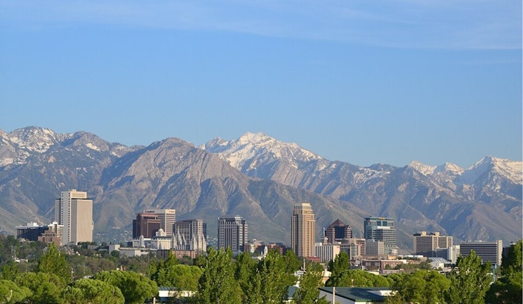
Salt Lake City wakes up on Saturday, February 21, to clear skies and a chill in the air, with many valley thermometers near 19°F before temperatures rebound quickly throughout the day. The sunshine sticks around through the weekend, giving residents a mild, dry breather before a wetter pattern pushes in later next week.
Weekend Outlook
Forecasters expect mostly sunny skies to rule the weekend. Saturday, February 21, tops out near 43°F with an overnight low around 26°F. By Sunday, February 22, highs climb to about 51°F, then nudge up again to near 55°F on Monday, February 23. Light winds from the south-southeast should help keep afternoons comfortable for errands, walks, or a quick park run.
Some patchy dense fog is possible in typically prone spots like Cache Valley and parts of the Uinta Basin, but it should burn off by mid-morning. Drivers in those low-lying areas should be ready for brief visibility drops on side streets before the sun wins out, according to the National Weather Service.
Plan For Canyons
The Utah Department of Transportation is already anticipating a wetter setup later in the week that could impact canyon travel. Anyone planning to chase snow or scenery on Tuesday or Wednesday should be ready for changing conditions, slower traffic, and the potential for traction rules or short-term restrictions depending on how the storm plays out. For up-to-the-minute details on closures and road impacts, check UDOT Traffic.
Midweek Soaker
A stronger Pacific system is expected to move in on Tuesday, February 24, and continue into Wednesday, February 25, bringing a solid dose of moisture in an atmospheric-river style pattern. Snow levels are forecast to stay relatively high, around 7,000 to 8,000 feet, which means rain for most valleys, while accumulating snow is mainly reserved for higher canyon roads and mountain peaks. Northern parts of the forecast area look most likely to see measurable precipitation.
Residents are urged to keep tabs on updated forecasts along with any watches or advisories as timing and totals get fine-tuned over the next few days, according to the National Weather Service.


