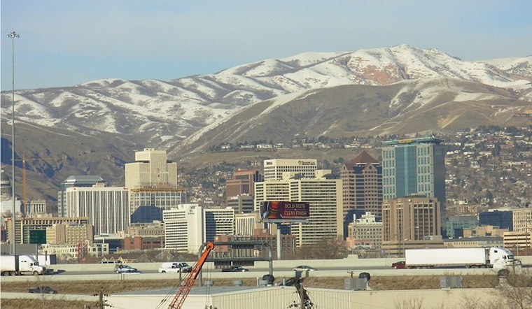
Salt Lake City woke up to clear skies and a raw 30°F early Monday morning, February 2, 2026, but the chill will not stick around for long. Temperatures are expected to rebound into the low 50s by afternoon as a strong area of high pressure settles in and keeps the Wasatch Front dry and sunny through the weekend.
Today and Tonight
Monday stays mostly sunny with a high near 51°F and light north-northwest winds around 2 to 6 mph. Temperatures climb steadily through the morning into the early afternoon, with no precipitation in the cards. Overnight, readings slip back to about 32°F.
Week Ahead
A strengthening ridge will keep the valley dry and running above normal through at least Sunday, February 8. Afternoon highs should land in the upper 40s to mid-50s, with overnight lows hovering near freezing.
According to the National Weather Service, there are no watches or warnings in effect. Ensemble guidance shows about a 30 percent chance of a pattern change that could bring broader rain or snow around Monday, February 9. If that shift materializes, it would mark the first sustained chance for rain or snow in more than a week.
What It Means For Salt Lakers
Mornings will still bite a bit, so plan on layers for early errands or school drop-offs, while afternoons should be comfortable enough for walks, hikes, and outdoor chores. Commuters are not expected to face weather-related delays this week, although low-lying neighborhoods could see some light haze if midweek winds stay on the weak side.
Stay Updated
No advisories are posted for the Salt Lake City area at this time. Keep an eye on the National Weather Service for any changes beyond next week. We will update this space if the late-week to early-next-week pattern shift becomes more certain.


