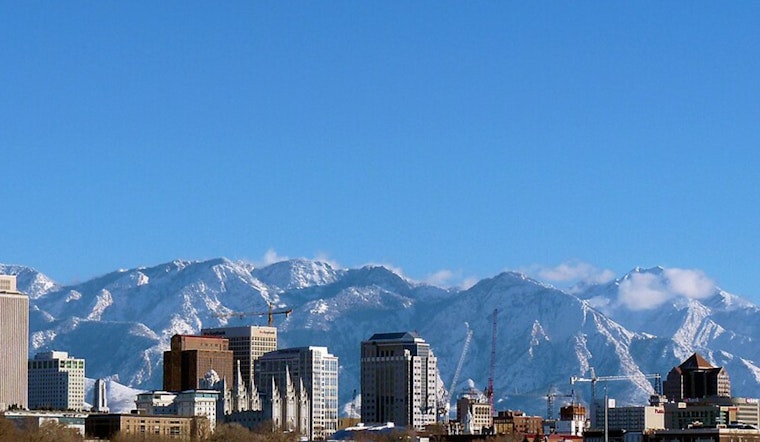
Salt Lake City is starting Friday, February 27, on a crisp but calm note, with clear skies and temperatures near 38°F. The city gets a quick taste of spring today, with mostly sunny skies, light west-northwest breezes, and an afternoon high close to 62°F. It is a short-lived treat, though, with a more unsettled pattern gearing up for the weekend that will bring mountain snow and increasing chances for valley rain.
Afternoon And Tonight
Through this afternoon, skies stay mostly sunny and pleasant, with west-northwest winds around 3 to 5 mph and highs topping out in the low 60s. By tonight, temperatures drop back into the upper 30s under partly cloudy skies. There are no watches or warnings in effect for the Salt Lake Valley as of Friday morning.
Weekend Into Early Week
Clouds begin to thicken on Saturday as the quiet stretch starts to break down. A weak system could wring out a few showers in the valley late Saturday into Sunday, while the mountains collect most of the moisture. A stronger low is expected Monday into Tuesday, bringing a better shot at steadier rain in the valley and significant mountain snow. Most of the accumulations are forecast above roughly 7,000 to 9,000 feet, with the heaviest totals in the upper Cottonwoods and Uintas. For the latest timing and amounts, see the National Weather Service.
Travel And Planning
Commuters should be ready for wet roads and localized slowdowns on Monday and Tuesday, especially in canyon corridors and near mountain pass approaches. Before heading out, check real-time road conditions and incidents at UDOT Traffic. If your weekend or early-week plans include the high country, expect snow at higher elevations and bring chains or traction devices if they are required.


