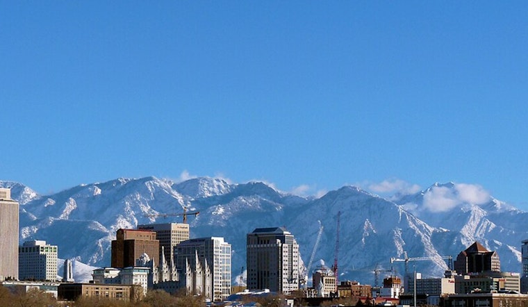
Salt Lake City woke up to a classic bluebird morning on Sunday, February 22, with clear skies, temperatures near 34°F and a light southeast breeze. Afternoon sun should nudge valley highs into the low 50s, serving up a brief, mild window for errands, canyon walks or long-delayed outdoor chores before the workweek and the next storm moves in.
Forecast Through Monday And Midweek
The National Weather Service is calling for mostly sunny skies today with a high near 51°F, followed by an even warmer bump into the upper 50s on Monday. After that, a warm Pacific system is expected to arrive Tuesday into Wednesday, bringing valley rain and mountain snow focused on the northern ranges.
Rain in the valleys is likely by Tuesday afternoon, with forecasters putting the chance at about 70%. New rainfall totals of roughly a quarter to a half inch are possible Tuesday night. There are no watches or warnings currently in effect for Salt Lake City, but timing details and snow levels could still shift as the storm gets closer.
Commuter And Canyon Impacts
Roads should remain dry through Monday, giving commuters and canyon drivers a relatively easy start to the week. Once the system moves in midweek, however, travel through the canyons may slow down and turn slick as rain transitions to snow at higher elevations.
Drivers should keep an eye on UDOT Traffic for real-time conditions and for any temporary traction requirements or speed reductions on canyon routes. If you have outdoor plans on Tuesday or Wednesday, pack rain gear for valley outings and be ready for wet or slippery spots above the foothills. Updates will follow if any watches, advisories or other alerts are issued.


