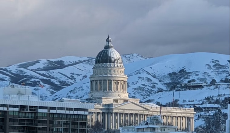
Salt Lake City rolled out of bed Tuesday, February 17, to a gray, blustery setup. Temperatures hovered near 41°F at the Salt Lake City airport, steady south winds were already working over the valley, and a mix of rain and snow was sliding through. That mix is expected to turn more wintry through Wednesday as a colder front moves in, bringing pockets of wet, heavy snow and gusty winds that could drag down travel speeds at times.
Advisory And Mountain Warnings
The National Weather Service has posted a Winter Weather Advisory for the urban Wasatch Front for Wednesday, February 18, roughly from 3 a.m. to 3 p.m. Forecasters are calling for 2 to 4 inches of valley snow, with locally higher amounts up to 6 inches on the benches. Winter Storm Warnings remain in place for the mountains, where 1 to 2 feet of snow is expected, with locally higher totals possible. The timing means the heaviest snow rates could line up with the Wednesday morning commute.
Plan For The Commute
Gusty southerly winds, with valley gusts around 30 to 40 mph at times, combined with wet snow, could turn canyon and highway travel into a slog, especially in Big Cottonwood, Little Cottonwood, and Parley’s Canyon. Check live road conditions and canyon camera feeds at UDOT Traffic, bring traction devices if you are heading over the passes, and think about putting off any nonessential trips. For more on how this system is set up, see our earlier gusts, slush, and slow canyons preview, as per Hoodline.
What To Expect Through Midweek
Highs on Tuesday should top out in the upper 40s, around 47°F, before temperatures slide through the afternoon and drop into the low 30s Tuesday night. Chances for rain and snow linger into Wednesday night, and the National Weather Service expects additional mountain-focused snowfall on Wednesday before the pattern eases later in the week. Gusty winds may hang around into midweek, so plan on blowing and drifting snow in exposed spots and on-and-off impacts along ski-area access roads. Stash extra layers in the car, give plow crews space to work, and check updated local forecasts before you pull out of the driveway.
Legal Implications
During heavier bursts of snow, traction restrictions and specific canyon travel rules may kick in, and drivers without proper tires or chains could face enforcement. Check UDOT Traffic for any active traction orders before heading into the canyons. If you have to travel, follow posted restrictions and the agency’s winter driving guidance to avoid citations and to keep routes clear for emergency crews and plows.


