St. Louis is waking up under clear skies and a chilly start in the mid-30s (about 36°F). Sunshine will help nudge temperatures into the mid-50s today. A much warmer and windier Friday is on deck as southwest winds drag in a warm, dry surge. The flip side: the warmup will be brief, with a potent cold front late Sunday into Monday set to bring widespread precipitation, and the best shot at accumulating snow north of I-70.
Afternoon And Friday: Warm, Windy And Elevated Fire Risk
This afternoon stays sunny with a high near 56°F, along with light southeast breezes that will veer to the southwest by Friday. Forecasts call for highs in the upper 60s to low 70s Friday and wind gusts into the 20s mph. That combo of gusty wind and low humidity will mean elevated fire danger across the region, with a small chance of Red Flag conditions for parts of central and northeast Missouri. The National Weather Service is urging extra caution with yard debris burning and any spark-producing tools during the warm, windy stretch.
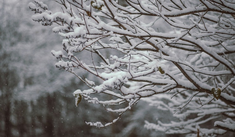
Weekend Into Monday: Rain Changing To Snow North Of I-70
Late Sunday into Monday, a strong cold front is expected to pull Gulf moisture over a cooling air mass. That setup should bring rain that then changes to snow in the colder parts of the region. Current guidance favors the greatest snow totals and travel impacts north of I-70, where a few inches are possible in spots and roads could turn slushy or icy. If you are traveling Sunday night or Monday morning, build in extra time and be prepared for slower conditions in the colder areas.
What To Do
On Friday, secure loose outdoor items and avoid open burning while winds are gusty and humidity is low. As the weekend front approaches, keep a close eye on updated forecasts if you need to travel north of I-70. Make sure your vehicle has an emergency kit, and allow extra time if your route could see rain changing over to snow. Local road and transit updates will give the clearest read on timing and impacts as the system moves through.
Earlier Coverage
We broke down the warmup and the weekend uncertainty yesterday; for more context, see our look at the late-night drizzle and near-70 Friday jump.


