San Francisco is in for bright, mild weather today, with afternoon highs near 68°F and light north winds that should make parks, trails, and viewpoints feel just about perfect. That postcard sky, however, comes with a serious ocean-side catch: Pacific Coast beaches are under a Beach Hazards Statement through tonight and a High Surf Advisory from 4 a.m. Friday, Feb. 6, through 9 p.m. Saturday, Feb. 7.
Afternoon Sunshine, Light Breezes
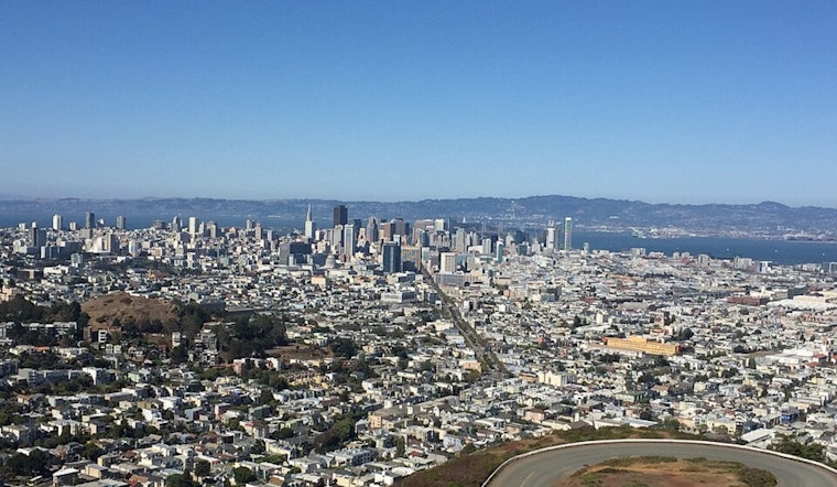
After some shallow morning fog in a few valley spots, skies are expected to clear by late morning. Temperatures will climb into the upper 60s by mid‑afternoon before slipping a few degrees toward evening. Light north to NNE winds around 6–7 mph should keep things comfortable across the city, with inland locations running a bit warmer, according to the SF Chronicle.
High Surf And Sneaker Waves: Keep Your Distance
The National Weather Service is flagging a very different story along the shoreline. Forecasters warn of strong rip currents, sneaker waves and breaking surf of 14–19 feet tonight, increasing to 17–22 feet under the High Surf Advisory from Friday into Saturday. Those waves can sweep people from rocks and beaches without warning, even on an otherwise calm-looking day. Swimmers are urged to stay out of the water, and everyone is advised to stay off jetties, piers and other shoreline infrastructure, per NWS San Francisco.
Marine, Commute And Weekend Outlook
Out on the water, seas will build rapidly tonight into rough conditions through Saturday, making ferry rides choppy and offshore operations hazardous, with small craft advisories in effect for several marine zones. On land, expect patchy morning fog to slow some early commutes, while a slight chance of light rain returns late Sunday into early next week as the overall pattern cools by a few degrees.


