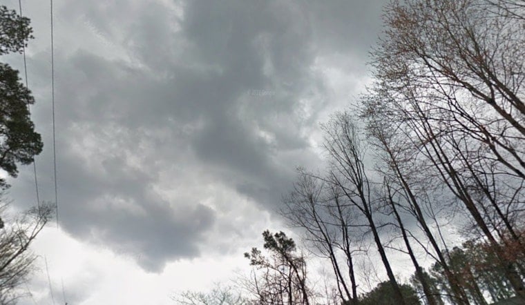
Atlanta and Peachtree City are slogging through a soggy start today, February 15, 2026, as rain and fog team up to slow the morning drive. Temperatures are hovering in the upper 40s to around 50°F, and in the thicker pockets of mist and rain, visibility is running at roughly four miles.
What To Expect Today
Showers are expected to hang around through the morning, with a more organized round of rain and thunderstorms likely before 1 p.m. Highs should top out near 61°F before sliding back into the upper 50s during the afternoon. Forecasters say about three-quarters of an inch to 1 inch of new rain is on the table, with southeast winds around 5 to 10 mph and gusts near 25 mph.
The highest risk for stronger storms sits south of a Columbus to Macon line, where isolated damaging winds or a brief tornado cannot be completely ruled out. According to the National Weather Service, areas of moderate to heavy rain will reduce visibility and create slick roads across metro Atlanta.
Afternoon Threats And Commute Impacts
Any storms that bubble up this afternoon could deliver quick-hitting downpours and gusty winds strong enough to knock over unsecured items and make driving more challenging. Stronger cells are also likely to feature frequent lightning.
We first flagged this soaking setup in our weekend preview, Soaking Sunday, and it is living up to the billing. Expect slower traffic on I-75, I-85 and key surface streets when the heavier bands roll through. Build in extra travel time, steer clear of standing water and, if you have an outdoor event, plan to duck under cover until the main line moves through and things settle down.
Monday And The Week Ahead
Rain should ease overnight into Monday, with some patchy fog possible before mid-morning. By tomorrow, February 16 (Washington's Birthday), skies trend mostly sunny and highs climb into the upper 60s. A drier and warmer pattern then takes over, with afternoon temperatures warming into the upper 60s to lower 70s by midweek as southerly flow returns.
The National Weather Service expects the warming trend to carry into the end of the workweek, setting up far better outdoor weather than the one-two punch of this soggy weekend.
Practical Tips
On the roads, stick with low beams in fog, ease off the gas around standing water and leave extra room between you and the car ahead. Nonessential outdoor chores can wait for the drier stretch later this week. Keep your phone charged with a weather app handy for real-time updates, and secure loose outdoor items before the gustier pockets arrive. We'll update this story if conditions take a notable turn.


