Orlando is waking up cloudy and on the cool side this Sunday morning, sitting near 61°F as of early February 15, 2026, but the calm start will not stick around for long. Temperatures are expected to jump to around 82°F this afternoon as southerly winds kick in and rain chances climb later in the day. A line of showers and thunderstorms is forecast to slide south this evening, with the overnight hours carrying the highest risk for heavier storms and gusty conditions. Expect a breezy afternoon and plan on wet, slick roads after sunset.
Afternoon Winds Pick Up
Southerly winds are on track to ramp up to around 15 to 20 mph this afternoon, with occasional gusts that could spike near 35 mph during a short window of stronger mixing. The most robust gusts should favor areas north and west of Orlando. Forecast guidance suggests conditions could flirt with Wind Advisory criteria at times, although any stronger gusts look to be brief rather than long lasting. Paired with warm temperatures and dry fuels, those winds will create very sensitive fire weather conditions, so skip any open burning and make sure loose outdoor items are secured.
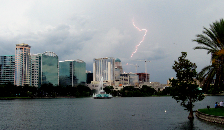
Evening Storms and Impacts
Showers and scattered thunderstorms are most likely to move in late this afternoon into the evening, with the broadest coverage expected between about 7 p.m. and 11 p.m. Sunday and continuing into the overnight hours of Monday, February 16, 2026. Northern parts of the region have the best shot at stronger storms, where isolated damaging wind gusts up to 60 mph and a low risk of a brief tornado are on the table. For most other spots, frequent lightning and pockets of locally heavy rain will be the main concerns. Total rainfall should stay under one half inch for much of the area, though a few locations north of the city could pick up higher amounts.
Marine Conditions
According to the National Weather Service Melbourne, Small Craft Advisories are posted for offshore waters this afternoon into tonight, with seas building to around 5 to 7 feet in the Gulf Stream. Boaters are urged to postpone nonessential trips or be ready for short, gusty squalls and rough conditions on the water. Life jackets and a clear plan to head back to shore quickly are strongly recommended. Check the latest marine statements before leaving the dock.
How To Prepare
If your plans take you out this evening, consider shifting gatherings indoors or at least keep an eye on radar and local alerts. Heavy downpours can quickly slick up roads, and gusty winds may toss around unsecured items. Tie down patio furniture, bring in lightweight yard gear, and give yourself some extra time on the road tonight in case storms slow things down.
Earlier Update
We first flagged this warmup and the early day fog back on February 13, and this update sharpens the timing for the stronger winds while adding tonight’s higher storm chances and new marine advisories. For more background, revisit our earlier Hoodline forecast on how weekend storms crash the party.


