Nashville woke up shivering on Friday, February 6, 2026, with clear skies and a bite in the air. Observations at Nashville International Airport showed about 28°F around 5:40 a.m. CST, but the city is on track to climb into the mid 50s later today. West winds will pick up through the morning and turn gusty by midday, so the afternoon may feel a bit brisk even with plenty of sunshine.
Afternoon Winds And What To Expect
Skies stay mostly sunny, with a high near 55°F, before temperatures slip into the mid 40s late this evening as a front slides through. West winds are expected around 5 to 15 mph, with gusts up to about 25 mph by mid to late afternoon. That is strong enough to nudge loose patio furniture around and make biking a little more of a workout.
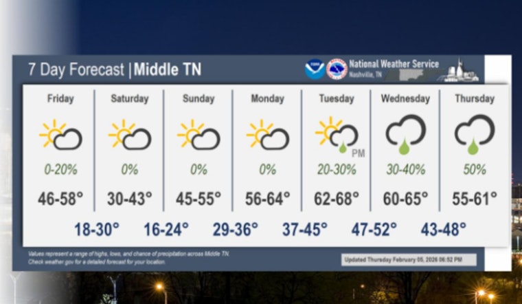
Looking ahead, the weekend turns colder in a hurry on Saturday, with highs near 38°F and lows in the 20s. A southerly flow returns Sunday, followed by a sharp warm-up on Monday that should push highs into the 60s. Rain chances then ramp up Tuesday into the middle of next week. These timing and temperature details come from the National Weather Service in Nashville.
Commute And Outdoor Tips
Bike commuters and runners should plan on dealing with gusts, and drivers of high-profile vehicles may notice brief crosswinds on exposed stretches of road. It is a good idea to secure lightweight outdoor items before the wind starts flexing in the afternoon. If you have evening plans, bring layers, since the daytime warmth will fade quickly. Travelers flying out of BNA should check with airlines for any updates and allow a little extra time to get to the airport.
More Info And Previous Coverage
Full forecast details and updates are available from the National Weather Service in Nashville, and for some context on how we got here, see our coverage of last week's cold snap. There are no watches or warnings in effect right now, and we will update if that changes.


