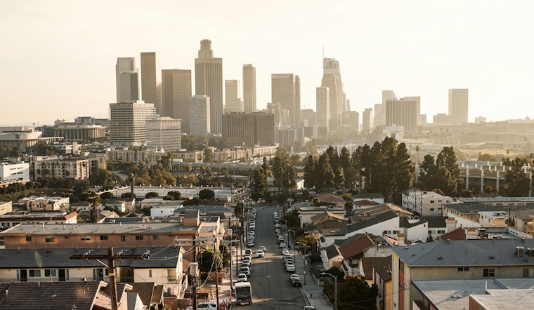
Tuesday, February 3, 2026 — Winter is taking the day off in Downtown Los Angeles, where sunshine and an unusually warm high near 84°F will pair with light west-northwest breezes. Early low clouds and patchy coastal fog should fade by late morning, clearing the way for many inland neighborhoods to surge into the 70s and 80s by midday. If you are planning to be outside, keep water close and the sunscreen handy, with an even stronger warmup loading in for midweek.
Afternoon Heat And Midweek Peak
According to the National Weather Service Los Angeles/Oxnard, a strengthening ridge of high pressure combined with offshore flow will push many spots into the 80s on Tuesday and close to 90°F on Wednesday, with a few locations potentially flirting with daily records. The hottest temperatures will favor the valleys and lower inland pockets, while coastal areas should hang on to readings a bit cooler than their inland neighbors.
Offshore Gusts And Practical Tips
Offshore Santa Ana winds are expected to ramp up Tuesday night into Wednesday, turning gusty in the usual canyon and pass corridors. Most neighborhoods should stay below formal wind advisory criteria, but foothill and some valley locations could feel stronger bursts. It is a good idea to secure lightweight outdoor furniture, pull in loose potted plants, and give high-profile vehicles extra space on exposed roads during the breezier periods.
Coastal Hazards And Boaters
Along parts of the Central Coast and Ventura County shoreline, higher surf and dangerous rip currents are on tap, with a High Surf Advisory and a Beach Hazards Statement in effect through about 4 PM PST this afternoon. Small Craft Advisories are also expected to cover portions of the inner and outer coastal waters overnight into Wednesday. Beachgoers should stay off rocks and jetties, steer clear of areas with obvious rip currents, and boaters may want to delay open-ocean trips until conditions settle down.
What To Expect Later This Week
Temperatures are projected to ease back by Friday and into the weekend, with highs mostly in the lower to mid 70s, although still running several degrees above seasonal norms. Forecasters also mention a slight chance for some light rain by early next week. For more context on how this warm spell set up, see Downtown LA sizzles in winter warmup.


