Skies are mostly clear and sitting near 646F at Reagan National this morning, but the calm start is temporary. Scattered rain showers are expected to move across the region through the day, with a high near 626F before temperatures slide into the upper 40s by late afternoon. Gusty northeast winds will make the morning commute both wet and blustery. Tonight, a much colder air mass settles in, with lows around 336F and a few rain and snow showers possible after midnight. Saturday turns bright but brisk, with highs only near 496F.
Afternoon Commute
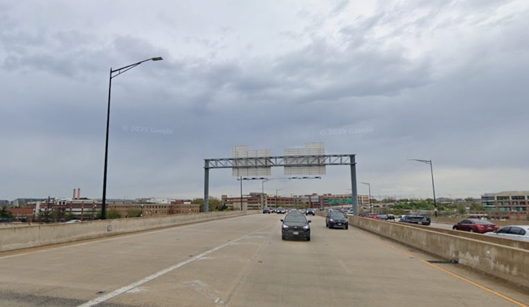
Showers are most likely from mid to late morning into early afternoon, with generally light new rainfall amounts that are still enough to slow traffic and slick up the streets. According to NWS Baltimore/Washington, there is about an 80% chance of rain today, with northeast winds 3 612 mph and gusts up to 22 mph, so plan on a slower-than-usual trip if you are heading out. Drivers and cyclists should be ready for puddles on bridges and in low spots, and transit riders may want to check for service alerts before they travel.
Friday Night Into Saturday
After midnight, scattered rain showers may mix with a few rain and snow showers in spots, with lows near 336F and north winds gusting into the mid 20s. That combination will make Saturday morning feel sharply colder, with wind chills in the teens and 20s possible around daybreak, before sunshine returns and highs edge up to around 496F. Saturday night stays mostly clear and cold, with near-freezing lows inland and slightly milder readings along the river and bay.
Weekend And Next Week
Temperatures rebound Sunday into early next week, with highs near 606F on Sunday and a warming trend into the 60s and 70s by Tuesday and Wednesday, although daily shower chances creep back in starting Monday. The overall pattern remains unsettled as milder southerly flow bumps up against fronts trying to sag south. For more on the recent swings between fog, warmth and wet weather, see our recap of the foggy morning rush.
Boaters And Waterfront
Small Craft Advisories are in effect for parts of the Potomac and Chesapeake through this afternoon, with another round of gusty northwest winds possible late tonight into Saturday morning. Recreational boaters should steer clear of exposed waters during advisory periods and secure loose gear at marinas. Anyone planning time on the water this weekend should check the latest marine forecasts before heading out.
Tips
Keep a light, waterproof layer handy for today and add warmer gloves for early Saturday morning, when a hat will also help cut the chill at dawn as winds peak. Build in extra travel time, ease off the gas on wet bridges and in low spots, and follow local transit alerts if you rely on Metro or buses. If you have outdoor plans Saturday, plan for a cold start, then enjoy the sunnier and more comfortable afternoon.


