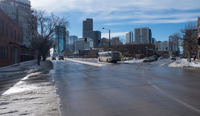
Denver is starting Friday under clear skies and comfortable conditions, near 55°F (13°C) by midmorning, with humidity in the mid‑20s. The warm streak hangs on through Friday, March 13, with highs headed for the low 70s, but strengthening west winds will crank up fire‑weather concerns ahead of a sharp cold front Saturday night, March 14, that brings rain changing to snow into Sunday, March 15.
Afternoon Winds Pick Up
On Friday, March 13, Denver is expected to top out near 72°F with west‑southwest winds of 8–16 mph and gusts around 25 mph in the city. Along the foothills and out across the plains, gusts will be much stronger, in the 30–55 mph range. A High Wind Warning stays in effect into the morning, and Red Flag conditions are posted for parts of the urban corridor this afternoon, so plan on gusty, persistent winds through the day. According to the National Weather Service Denver/Boulder, residents should secure loose outdoor items and avoid open burning while these warnings remain in effect.
Saturday Night Snow, Sunday Chill
A strong cold front late Saturday evening, March 14, is expected to kick off a band of precipitation that flips to snow overnight. A Winter Weather Advisory covers Saturday night into early Sunday for the Palmer Divide and nearby foothills. Many lower‑elevation areas may see only a dusting to around an inch, but localized banding could deliver higher totals, and mountain travel will turn difficult with blowing snow and reduced visibility. As noted by Hoodline in an earlier look at the wild winds and warm-then-cold whiplash, post‑front north winds will drive cold wind chills on Sunday, March 15.
How To Prepare
Before mid‑afternoon, tie down or move patio furniture, tarps, and trash cans, and skip any spark‑producing work while Red Flag and High Wind warnings are in place. If you are heading to the mountains late Saturday, check road conditions, bring chains or traction devices, and be ready for visibility to drop fast; urban drivers should expect gusty crosswinds and slower going for high‑profile vehicles. Keep an eye on local advisories and official updates through the weekend, since conditions will flip quickly from warm and dry to cold and wintry.


.jpg)