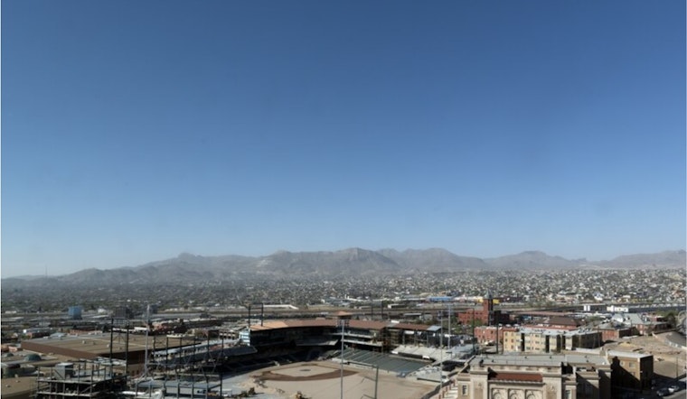
El Paso is rolling into the weekend with a bit of a weather whiplash. The city wakes up to a cool, dry morning in the mid‑50s, but the warmup will be fast. Forecasters expect sunny skies and a high near 86°F this afternoon. Nighttime lows only fall back to the mid‑50s, so it will not cool off all that much after dark. With dew points staying very low, it will feel noticeably drier than a typical early‑March day.
This Afternoon Through Monday
Sunny skies stay in charge, with highs near 86°F today and climbing to about 88°F on Monday. According to the National Weather Service El Paso, those lowland highs run roughly 15 to 20 degrees above normal and keep the area in record‑warm territory through the start of the week. Winds will be mostly westerly at 3 to 10 mph, with slightly stronger afternoon breezes in more exposed spots. There are currently no watches or warnings in effect for El Paso.
Winds, Dust and Fire Risk
The real breeze shows up later in the workweek. Tuesday and Thursday look like the gustiest days, with gusts commonly in the 20s and locally higher. Minimum humidities could drop into the single digits across lowland areas. Combined with dry fuels, that will push fire danger into Elevated and possibly near‑Critical territory in some locations.
Residents are urged to secure loose outdoor items, skip open burning and spark‑producing yard work during the windiest periods, and keep grills and any heat‑producing equipment well away from dry grass or brush.
What This Means For You
If you are planning to be outside, bring water, shade and sunscreen, and try to schedule activity for the morning or early evening while temperatures are a bit more forgiving. Drivers on rural stretches should keep an eye out for brief dusty pockets during gusty afternoons, and anyone with respiratory issues may want to take basic precautions if dust becomes noticeable. It is also a good time to check on elderly neighbors and make sure pets have shade and plenty of water during the peak heat hours.
Looking Ahead
Forecast models hint at a pattern change by late week that could bring cooler temperatures and a chance for showers next weekend. Forecasters still rate that rain chance as low confidence, so it is far from a sure thing. Regional drought and fire outlooks underline why even a small shot at rain matters: the landscape across the Southern Plains remains unusually dry and primed for fire behavior, according to a recent update from Drought.gov. We will keep watching forecasts for any changes in wind or humidity that could prompt official fire‑weather products.


