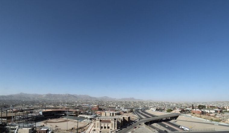
El Paso woke up under clear skies on Monday, March 30, with morning readings in the upper 60s and a high expected near 88 to 89°F this afternoon. Most of the city should stay dry, with west winds starting on the lighter side before cranking up later in the week. The air will feel dry thanks to low humidity, and forecasters are already eyeing stronger midweek gusts that could hassle travel and outdoor plans. If you have gear or furniture outside, this is a good day to make sure it is tied down.
Afternoon Heat And Dry Air
Temperatures are expected to climb into the upper 80s Monday and Tuesday, several degrees above seasonal norms, while dew points stay low and relative humidity dips into the teens across much of the city. According to the National Weather Service, lowland humidity values will hover around 10 to 15 percent today through Wednesday, with slightly higher readings in the mountains. That mix of warm temperatures and bone-dry air will leave lawns and brush quick to dry out and heighten the need for extra care with any outdoor fire source, from grills to yard work.
Breezy Midweek
Winds pick up Tuesday into Wednesday, turning west to west-southwest in the afternoons. Wednesday is shaping up as the windiest day, with gusts around 30 to 32 mph possible in exposed lowland corridors. Monday night and Tuesday will already be on the breezy side, with gusts in the low 20s. Those gusty afternoon winds may kick up patchy blowing dust along open stretches of I-10 and other desert roads, leading to sudden dips in visibility. Drivers, especially those in high-profile vehicles, should plan for shifting crosswinds and give themselves a little extra space and time during peak gust periods.
Fire Weather And Practical Tips
Fire-weather concerns stay elevated this week as dry air and periodic breezes limit how much humidity can recover overnight. Officials are urging residents to postpone open burns and handle yard debris with extra caution. For recent local context on how quickly things can turn gusty and dry, see our earlier wind and fire danger coverage from March 6, as per Hoodline. Simple steps like securing patio furniture, skipping outdoor burning while humidity is low, and allowing more time for drives through exposed desert corridors during the gustiest afternoon hours can go a long way.
Looking Ahead
Temperatures are expected to stay above normal through Friday before a backdoor cool front slides in late Friday into Saturday, knocking daytime highs back into the 70s for the weekend. There is a slight chance of brief mountain showers on Wednesday and again Sunday, but the lowland desert is expected to remain mostly dry through the week.


