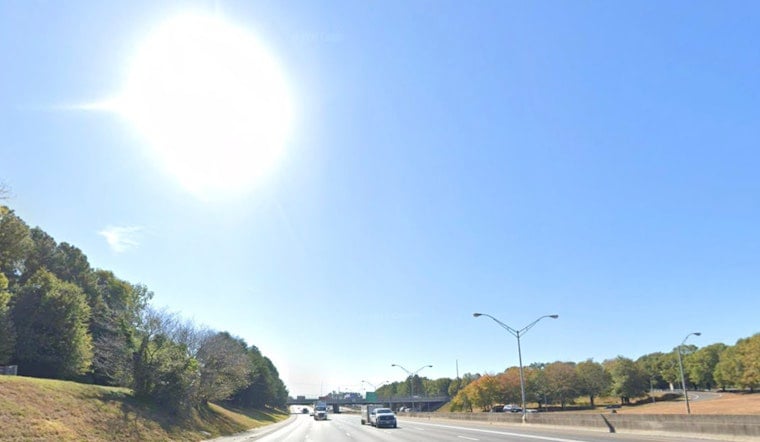
Atlanta is warming up in a hurry Friday, March 27. After a clear, cool start near 61°F at Hartsfield–Jackson, skies stay sunny as temperatures shoot toward a high around 85°F this afternoon, with west winds of 5–10 mph and gusts up to 25 mph. Once the sun goes down, that warmth disappears fast, with many spots tumbling into the upper 40s by Friday night. That sharp, warm‑then‑cool swing is setting the stage for a different kind of concern on Saturday.
Afternoon Heat And Gusts
The metro area bakes under mostly sunny skies Friday as light winds and dry air help push readings into the mid‑80s. Rain chances are minimal, with only isolated showers possible. West winds will be on the breezy side during the warmest part of the day, with gusts that could reach 20–25 mph. Several official climate sites are flirting with near‑record highs by Friday afternoon.
Saturday Fire Weather Watch
The National Weather Service office in Peachtree City has issued a Fire Weather Watch for Saturday, March 28, in effect from 8 a.m. to 11 p.m., thanks to a combo of gusty winds and very low humidity. According to the National Weather Service Peachtree City, northeast winds of 10–15 mph with gusts up to 30 mph, and even higher on ridgelines, are expected. Afternoon relative humidity is forecast to drop into the teens to low 20s, a setup that could create extremely dangerous fire conditions across North and Central Georgia.
The watch specifically covers the Chattahoochee and Oconee National Forests, and outdoor burning is strongly discouraged. Forecasters note that if conditions trend any drier or windier, the watch could be upgraded to a Red Flag Warning.
Safety And Burn Rules
Officials are urging residents to hit pause on any open burning plans while the watch is in effect. Skip spark‑heavy tasks like mowing over dry grass, grinding metal, or welding outdoors during the windiest, driest hours, and secure loose yard items before the stronger winds kick in.
Before you light anything, check burn permits and local rules with the Georgia Forestry Commission and follow guidance from county fire officials if a controlled burn is absolutely necessary. If you spot a fire that looks out of control, call 911 immediately and stay clear so firefighters and emergency vehicles can move freely.
Weekend Outlook
Once the front moves through, Saturday turns noticeably cooler, with highs near 68°F. Temperatures then climb back into the upper 60s Sunday and continue to rebound into the 70s and low 80s early next week. Rain chances stay low through Tuesday, with only a slight increase in shower potential by Wednesday afternoon. If you are planning to spend time outside this weekend, keep tabs on local updates, especially regarding fire weather alerts.


