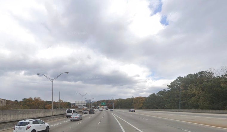
Atlanta wakes up under a blanket of low clouds Monday, mild and a little murky, with temperatures sitting in the mid to upper 50s from Peachtree City to near Hartsfield. The clouds hang on through the afternoon, but it will still be comfortable, with highs near 74°F and a light southeast breeze around 5 mph. Any morning showers should be limited to quick, spotty sprinkles.
This Morning And The Commute
Low clouds and a few patchy sprinkles could briefly brush the morning drive, but the National Weather Service expects any precipitation to be short-lived and too light to register as measurable rainfall. Winds stay on the calm side, so road conditions and flights should see only minor impacts at most. For real-time observations and updates, keep an eye on the National Weather Service page.
Warm Midweek With Spotty Storms
By Tuesday, Atlanta flips the switch back to early-season heat, with highs climbing into the low 80s around much of the metro. South winds will pick up a bit and could gust up to about 20 mph in the breezier spots. A slight chance of afternoon showers and isolated thunderstorms develops after about 2 p.m., and rain and storm chances tick up Wednesday and continue into the weekend. That pattern lines up with our earlier coverage of a March warm spell, so check out our look at the springlike warm-up for March for more background.
What To Bring And When To Watch
If you have outdoor plans from Tuesday afternoon on, a light rain jacket is a smart add to the bag, along with a backup plan in case a short, heavy downpour or lightning moves in. No watches or warnings are posted this morning, but scattered storms later in the week could quickly drop heavy rain or kick up gusty winds. Check in with local updates before heading out, especially for late-day or evening plans.


