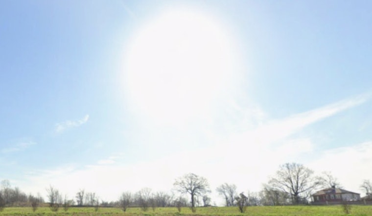
Memphis started Saturday bright and chilly, with clear skies, mid-40s temperatures and a brisk northeast breeze that made early errands feel more like late winter than early spring. The sun will stick around and help push afternoon highs to about 63°F, but the combination of very dry air and stiff winds will turn the day into a fire-weather headache. By early next week, the script flips completely, with highs rocketing into the 80s Monday and Tuesday ahead of a midweek shot at showers and storms.
Fire Danger This Afternoon
Humidity levels are expected to tumble below about 25% in many spots, and when you pair that with persistent northeast winds, fire danger across the Mid-South climbs fast. The National Weather Service has issued a Red Flag Warning for parts of north Mississippi from late morning into the evening, according to the NWS Memphis office. Officials are urging folks to hold off on any open burning and to park spark-making tools like chainsaws and mowers until conditions improve. If you live along the Mississippi line, check with local fire officials for county burn bans before you tackle that brush pile or yard cleanup.
Winds And Your Plans
Northeast winds of 10 to 15 mph this morning will occasionally gust up to around 30 mph, which is enough to kick up loose debris and make exposed roads feel extra blustery. The wind should back off tonight as it shifts from east to south, but it is still a good idea to tie down patio furniture and stay alert on bridges and open overpasses. Expect that commute to feel cooler than the thermometer suggests, especially during the morning rush when the breeze cuts right through lighter jackets.
Looking Ahead
After the dry, breezy setback today, a sharp warmup takes over Sunday into early next week. Highs climb to near 75°F Sunday, then jump to about 81°F Monday and around 85°F Tuesday, before a cold front rolls in and pushes rain chances higher. Forecasters point to Wednesday into Thursday as the window for the most widespread showers and thunderstorms, so it is worth keeping tabs on updates if you are planning outdoor events. For continuing updates and detailed fire-weather information, check the NWS fire weather page.


