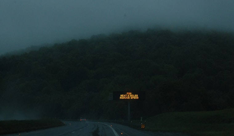
Jacksonville woke up socked in on Saturday, March 7, 2026, with dense fog cutting visibility to about a quarter mile and temperatures hovering near 65°F. A Dense Fog Advisory is in effect until 9:00 AM EST on Saturday, March 7, 2026, with forecasters expecting the murk to lift by mid-morning. Once it does, skies should turn mostly sunny and inland highs are forecast to reach around 82°F. Out at the coast, though, the story stays rougher, with a Rip Current Statement in place through 5:00 AM EDT Sunday, March 8, 2026, and dangerous surf expected through the weekend.
Foggy Morning Commute
The thickest fog is pooling around river valleys, bridges, low-lying neighborhoods and along the coast, where sea fog could hang on longer than it does inland. Southeast winds will stay on the lighter side early, around 2 to 12 mph this morning, then pick up into the afternoon with gusts that could reach 17 mph while inland temperatures climb into the low 80s. Drivers navigating the haze are urged to slow down, stick with low-beam headlights and leave extra room to stop, according to the National Weather Service in Jacksonville.
Beaches and Boats
At the beaches, a moderate to high risk of rip currents holds through the weekend as onshore swells and southeasterly winds combine to make rescues more likely. Swimmers are advised to stay close to lifeguards and obey the flags. If you get caught in a rip, officials say to float and signal for help instead of fighting the current and trying to swim straight back to shore. Boaters can expect pockets of sea fog and poor visibility near the coastline, and are urged to review marine forecasts and any posted advisories before heading out, per the National Weather Service in Jacksonville.
Weekend Outlook
After today the warm pattern sticks around, with inland highs pushing into the mid to upper 80s Sunday and Monday and only low chances for a few isolated afternoon showers. A more noticeable shot at scattered showers and thunderstorms arrives around Thursday as a frontal trough edges into the region. For more on how this stubborn fog and surf risk set up over the area, see our earlier alert on fog and rip currents.


