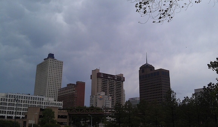
Early Sunday, March 8, 2026, Memphis woke up to a gray, muggy start, with clouds hanging low and temperatures sitting in the mid-50s. A few light showers are possible through the morning, but most of the city is expected to trade in the gloom for sunshine by midday and a pleasantly warm afternoon.
Today: Wet Morning, Bright Finish
A chance of rain showers before 8 a.m. will yield to mostly sunny skies, with the high topping out near 69°F and a light northwest breeze around 0 to 5 mph. New rainfall totals should stay under a tenth of an inch in most neighborhoods. According to NWS Memphis, humidity will drop this afternoon, setting up a comfortable late-winter finish to the weekend.
Plan Your Commute
If you are heading out this morning, count on wet pavement and some lingering puddles on low-lying streets, so it is worth giving yourself a few extra minutes on the road. Transit and bus riders should also build in a little cushion for possible delays during the heaviest showers. Outdoor plans are safer in the afternoon, when most of the area should have dried out under clearing skies.
Monday Through Midweek: Stormy Pattern Returns
The calm will not last long. From Monday through midweek, the forecast shifts back to an unsettled pattern, with scattered showers and a chance of thunderstorms on Monday, then increasing storm coverage Tuesday into Wednesday. Some storms could turn strong to severe, with the potential for damaging winds and locally heavy rainfall, and gusts may reach about 30 mph on Wednesday. Temperatures could slip into the 40s by Wednesday night. The NWS Memphis forecast discussion urges residents to stay weather-aware and be ready to head indoors if thunder develops.


.jpg)