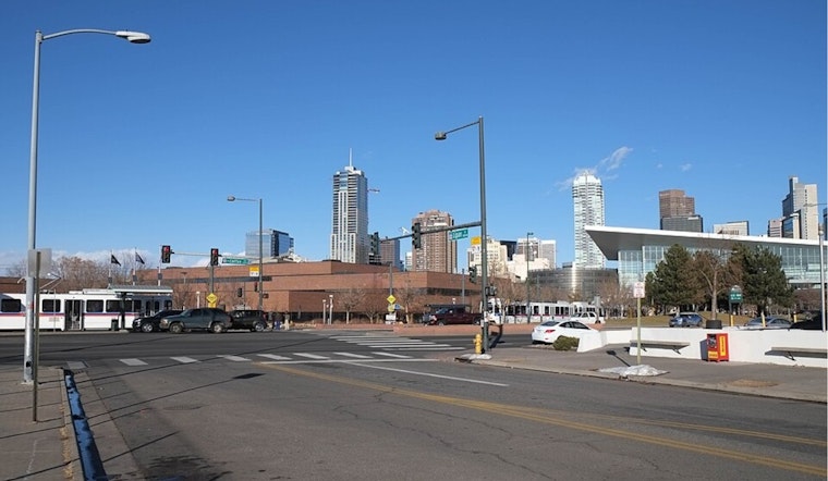
Thursday, March 12, Denver started the day under bright blue skies and a cool 50°F at the KBJC observation. It looks calm, but that is the kind of calm Colorado veterans know not to trust. A strong downslope wind event is building and critical fire weather is expected along the Front Range through the weekend.
Afternoon Winds Crank Up
The forecast keeps Denver near a pleasant 70°F this afternoon with west-southwest winds around 8 to 18 mph and gusts up to about 30 mph in the city. The real trouble, though, will be along the foothills and the usual wind-prone corridors.
According to the NWS Denver/Boulder, ridgetop gusts as high as 80 to 100 mph are possible above 7,000 feet, with foothill gusts in the 45 to 75 mph range at times. Farther east, widespread gusts of 30 to 50 mph can develop. Drivers of high-profile vehicles should be ready for tense stretches on I-70, Berthoud Pass and other exposed routes, and residents would be wise to lock down anything light enough to go airborne in the backyard.
Fire Weather Through Saturday
Dry air teaming up with those strong winds will drive humidity into the teens across many lower elevations, setting the stage for Red Flag and Fire Weather alerts from today through Saturday. For background, we walked through the warm then cold setup yesterday in our earlier post, warm then cold setup, as per Hoodline. The new warnings move things from "this could get bad" territory into "this is happening now." That means no open burning, extra caution with grills and outdoor gear, and some patience if power lines or tree limbs end up across roads.
Weekend Flip: Snow Back In The Mix Sunday
A sharp front late Saturday is expected to send temperatures tumbling, with mountain snow developing and a band of rain and snow pushing into the lower elevations overnight into Sunday. Forecast guidance shows Sunday highs only in the upper 30s, with roughly an inch of snow possible in parts of the urban corridor and several inches in the mountains. If you have weekend travel plans, especially into higher terrain, build in time for conditions to change fast and keep an eye on updated forecasts.
What To Do Now
Today is the day to batten things down. Secure patio furniture and trash cans, tie down trailers, and think about delaying trips with high-profile vehicles during peak wind periods. If you encounter downed wires or blocked roads, report them and steer clear. For mountain trips, check COtrip and carry chains. Gusty, at times damaging, winds are expected through Saturday, so a little prep now can save you a lot of headaches later.


.jpg)