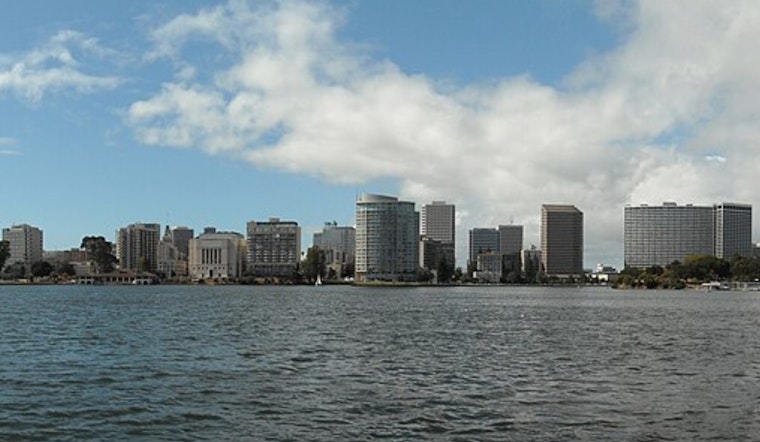
Oakland rolled in today under crystal-clear skies and a mild 57°F, and the city is about to feel a not-so-subtle hint of spring. Inland neighborhoods are expected to climb into the upper 70s to near 80°F this afternoon, while the immediate coast holds cooler in the upper 60s to low 70s. Overnight lows will settle in the low to mid 50s, with a slight cool down on Monday and Tuesday before another warmup arrives midweek.
Sunny, Warm and Mostly Calm
Sunshine will rule the day today, and west winds should stay light to moderate for most areas, easing the gustier pattern from earlier in the week. Inland highs are forecast to top out near 79°F, with a few hilltop spots sneaking into the low 80s. The National Weather Service expects temperatures to run roughly 10 to 15 degrees above normal for early March.
Marine And Travel Impacts
Northerly breezes are set to pick up this afternoon through Tuesday, kicking up rough to very rough seas and frequent gale-force gusts over the outer waters, so small-boat operators are urged to stay in port or take extra precautions. Along the shoreline, gusty crosswinds could make bridge approaches and exposed roads blustery for high-profile vehicles and cyclists. Ferry riders should give themselves a little extra time and check carrier alerts before heading to the terminals.
Tonight And The Commute
A shallow marine layer may redevelop tonight, spreading patchy low clouds or fog along the shoreline and into some lower-lying neighborhoods before dawn Monday. That could knock down visibility for coastal commuters and at the airports. A weak onshore flow will trim daytime highs by a couple of degrees Monday and Tuesday before the next warm surge moves in around midweek.
Looking Ahead
No rain is in the forecast for the coming week. After the brief early-week cooldown, forecasters expect a return to mild, mostly sunny afternoons later in the week and into next weekend.


