Oakland woke up today under a patchy marine layer with temperatures hovering around 50 to 55°F. The fog should thin by late morning, and most neighborhoods are still on track to warm into the mid-60s this afternoon. A brisk sea breeze will keep things feeling a bit blustery, and forecasters are already flagging much stronger winds along the coast and over the hills later this week.
Patchy Fog This Morning
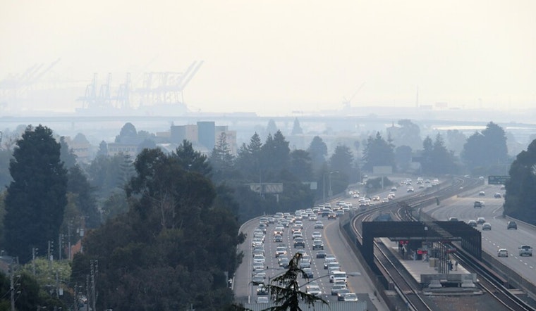
Low clouds and pockets of reduced visibility are likely near the shoreline and on bridge approaches through the morning commute. Once the marine deck mixes out, expect highs near 65°F this afternoon, with a few inland spots running a couple of degrees warmer.
Afternoon Sea Breeze And Commute
A thermal trough parked close to the coast will shove a sea breeze into the East Bay this afternoon, bringing steady winds and locally gusty crosswinds on elevated roadways. Drivers, cyclists, and delivery riders should leave extra room on bridges and be ready for sudden gusts near hilltops. Airport terminals could see stronger winds on arrival and departure, so it is worth checking with your carrier before heading out.
Midweek Gusts And Marine Watches
The wind story picks up tomorrow, through Friday, March 6, as a stronger pattern develops with very strong northwest to northerly winds likely along the coast and over higher terrain. Small Craft Advisories are in effect for parts of the coastal waters, and Gale Watches are posted for some zones tomorrow night into Thursday. Exposed waters could see seas building to 12 to 15 feet Thursday and Friday, creating hazardous conditions for small vessels. This outlook comes from the National Weather Service San Francisco office, NWS San Francisco.
What This Means For Plans
If you have ferry trips, shoreline time, or small-boat outings lined up between tomorrow and Friday, keep a close eye on carrier notices and consider postponing - rough seas and gale gusts can easily trigger cancellations.
Before the strongest winds arrive, secure loose patio furniture and tie down lightweight items, and keep pets sheltered when gusts ramp up. The outlook could still change, so watch for updated forecasts and possible upgrades from watches to warnings before you head out on the water or into exposed areas.


