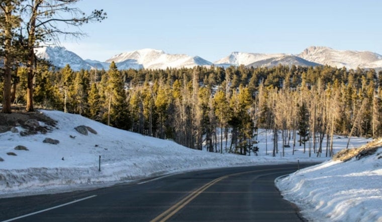
Oregon just wrapped up a winter that felt more like an extended, soggy fall, with unusually warm temperatures and plenty of lowland rain. The downside is sitting in the mountains: snowpacks are only about one-third of their normal size as spring arrives. That thin snowpack, essentially the region's natural reservoir, is raising alarms about summer water supplies for farmers, low streamflows for fish, and a tougher wildfire season if spring does not deliver a serious turnaround.
Statewide snowpack at historic lows
Federal snow telemetry shows the shortfall is widespread across the Cascades and other high country. An interactive map of SNOTEL data, summarized on Drought.gov, reports Oregon's statewide snow water equivalent at record-low levels as of March 8 and flags several basins below half of their 1991–2020 median. Those deficits mean far less stored runoff headed into the spring and summer water season.
State climatologist: 'Epicenter of the snow drought'
Oregon State climatologist Larry O'Neill has not sugarcoated the outlook: "We're the epicenter of the snow drought," he told Capital Press, warning that without a very wet spring the state could face an earlier irrigation season and "a drought-filled summer." Capital Press reported that, on March 2, Oregon's snow-water equivalent measured about 32% of the 1991–2020 median, the state's second-lowest mark on record and only a few points off the 2015 low. Water managers say they will be watching reservoir fills, river gauges and irrigation allotments closely as melt begins.
Warmup will speed melt this week
Forecasters expect another warm stretch that will hasten snowmelt: the National Weather Service Portland outlook shows daytime highs climbing into the low to mid 60s while the Mount Hood forecast tops out in the mid 50s, conditions that push the snowline higher and speed runoff. See the local forecasts from the National Weather Service Portland office and the National Weather Service Mount Hood station. National climate records also show this winter's November–February period among the warmest on record in Oregon, a pattern summarized by Axios.
The practical stakes are simple: snowpack functions as delayed spring storage, and when it is gone communities rely on reservoirs, groundwater and curtailed irrigation to get through summer. The federal drought portal lays out the likely impacts, including lower summer streamflows, tighter irrigation allotments and increased wildfire risk, and continues to update basin SWE maps and forecasts. Drought.gov is the best single place to watch SNOTEL updates and basin conditions as the season unfolds.


