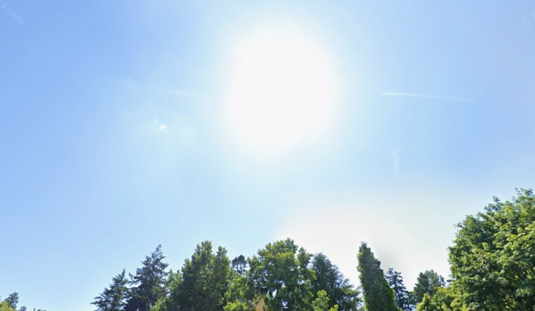
Portland gets a brief taste of spring Saturday, with cool morning temps near 40°F giving way to mostly sunny skies and a comfortable afternoon high around 64°F. A light west-to-northwest breeze will keep things pleasant, but clouds start to creep in later tonight as a weak weather system moves closer. That calm, mostly dry weekend will not last long, with showers possible Sunday and a more serious storm lining up for midweek. If you are plotting any outdoor time, this is a good stretch to keep checking the forecast.
Weekend Outlook
Saturday (March 28) stays mostly sunny, topping out near 64°F with light west winds around 5 mph. Skies turn mostly cloudy overnight, and temperatures drop to around 42°F.
By Sunday (March 29), expect more clouds than sun. There is a chance of rain showers after 11 a.m., and the high slips to around 54°F. Winds will generally stay on the lighter side, though exposed spots could see gusts up to about 18 mph Sunday afternoon.
Monday Morning Frost
Sunday night brings a colder air mass, with lows dipping into the low 30s and bottoming out near 33°F. That sets the stage for some Monday (March 30) morning frost in parts of the Willamette Valley and southwest Washington.
Sunshine is expected to make a comeback Monday, with a high near 55°F as drier air moves in. Lowland snow is not anticipated, but the Cascades may pick up light snow accumulations from late Sunday into Monday.
Midweek Storm Risk
The real action arrives midweek as a stronger system from the Gulf of Alaska moves in, with a cold front forecast to sweep through on Wednesday, April 1. Forecasters are currently timing the front between about 11 a.m. and 5 p.m., making Wednesday the likeliest day for widespread rain.
From Wednesday through early Friday, rainfall totals are expected to top one inch along the coast and in the Cascades, with roughly 0.75 to 1.25 inches possible across the interior lowlands. Gusty winds are also on the table, especially along the coast, and both mariners and coastal residents should be ready, according to NWS Portland.
Coastal And River Concerns
Conditions out on the ocean turn rough late Tuesday into Wednesday as seas build and potentially become hazardous. Steep seas are likely in the 12 to 15 foot range, with a smaller chance of heights reaching 15 to 17 feet.
In low-lying or already saturated areas, higher river flows and localized flooding are possible. For residents gearing up for high water, the city provides sandbag fill-up locations, including Lents Park and Gabriel Park, according to the Portland Bureau of Transportation. Mariners are urged to seek shelter and stay away from exposed beaches and jetties during the peak of the storm.
If you are heading out on the roads or the water later this week, keep an eye on updated forecasts and plan for wet, breezy conditions by midweek. This page will be updated if any watches or warnings are issued.


