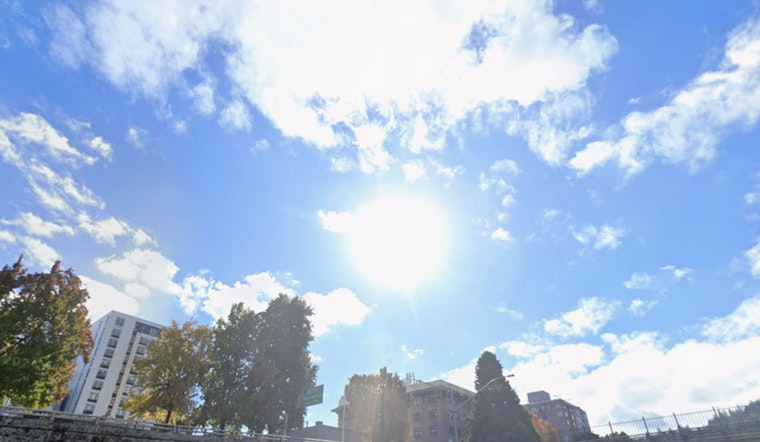
Portland woke up to clear skies and a crisp chill on Friday, March 27, 2026, with temperatures in the upper 30s (about 39°F) around PDX. The payoff is a mostly sunny afternoon with a springlike high near 65°F inland and lower 60s closer to the river. Saturday stays dry and a touch cooler. It is a short dry window for errands and outdoor plans, because rain is set to return late Sunday and become more organized into the middle of next week. That midweek system raises the risk of heavier lowland rain and accumulating snow at the Cascade passes.
Afternoon And Saturday
Friday afternoon, March 27, will feature light north winds of 5 to 8 mph and mostly sunny skies, with temperatures peaking near 65°F before easing into the low 60s in the evening. Saturday, March 28, looks similar, with a high around 62°F and lighter northwest breezes. Overnight lows will be milder than earlier in the week, holding mostly in the upper 30s instead of dropping into the low 30s. In other words, if you have yard work, a dog that needs a long walk, or a bike ride in mind, this is your good-weather window before the next wet spell settles in.
Rain Returns Late Sunday And Strengthens Midweek
Light rain has a decent shot at returning after 11 a.m. on Sunday, March 29, with highs in the upper 50s and roughly a 50% chance of showers through the day. A more organized system is forecast late Tuesday, March 31, into Wednesday, April 1, bringing steadier rain across northwest Oregon and southwest Washington. Ensemble guidance raises concerns for the Cascades, as snow levels could fall to about 2,500 to 3,000 feet behind the front, with non-negligible chances of heavy 24-hour snowfall at the passes. For timing, probabilities and evolving impacts, see the NWS Portland.
Cascade Passes And Travel
If you plan to cross the Cascades, expect changing road conditions Wednesday into Thursday. Accumulating snow and falling snow levels could leave passes slushy or temporarily hazardous. Carry chains or be prepared for restrictions on Santiam, Willamette and Mount Hood routes, and check live road reports on ODOT TripCheck before you go. Even if the valley stays mainly wet, mountain travel will be the main concern for midweek commuters and recreation trips. Consider delaying nonessential cross-mountain travel until conditions clear.
Marine And Commute Notes
Boaters should note that a Small Craft Advisory affects waters south of Cape Falcon beginning this afternoon and running into early Saturday morning, with elevated northerly winds and 7 to 9 foot seas persisting through Saturday before easing. The Columbia River Gorge will also see increased east winds this afternoon, with gusts that could affect exposed bridges and bike or foot commutes. Slow down on wet roads and give extra room for gusty bridges or high river crossings. Check official updates if you have plans on the water or an exposed commute.
We covered last week’s pattern shift in an earlier forecast, and this update matters because the upcoming midweek system raises the travel stakes for Cascades routes. For background on the recent wet spells and travel tips, see our March 15 forecast on the springlike sizzle in Portland. We will keep an eye on timing and intensity changes over the weekend and update if travel impacts grow more likely.


