Monday morning, March 30, 2026, Portland woke to clear skies and a brisk air mass, with PDX reporting about 39°F, and light pockets of frost possible on lawns, car roofs and other exposed surfaces before the sun burns them off. Inland temperatures will rebound quickly, with afternoon highs climbing into the upper 50s. Morning commuters should plan a few extra minutes to clear windshields and watch for slick spots on bridges.
Afternoon Sun, Commuter Note
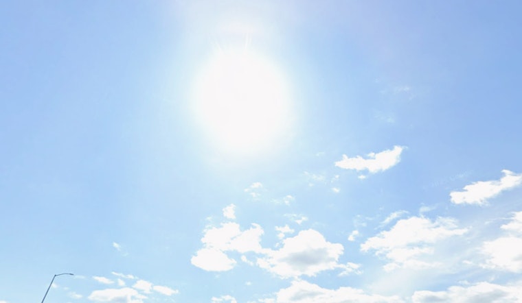
Areas of frost should fade by midmorning, giving way to mostly sunny skies and a high near 58°F in the Willamette Valley. North winds stay on the lighter side at 2–8 mph. The coast runs cooler, with highs in the low 50s and a bit more cloud cover hanging around. These forecast details come from the National Weather Service; see NWS Portland for the latest.
Midweek System Could Bring Rain And Cascade Snow
The pattern starts to shift by Tuesday night as a stronger system moves in. The NWS notes "Rain after 11pm" Tuesday, with widespread rain likely Wednesday into Wednesday night and breezy south-southwest winds. Forecasters are calling for a moderate chance of 1+ inches of rain across parts of the southern Willamette Valley and much of the coast over a 48-hour period. They also highlight a 40–60% chance of 12+ inches of snow on Santiam and Willamette Passes from Wednesday into Thursday, amounts that could produce travel impacts. Anyone planning to drive over the Cascades should expect rapidly changing conditions and possible delays.
Plan Ahead
If your plans involve mountain travel, allow extra time and be ready with chains or traction devices as required. Check road conditions before you go; officials typically post updates at ODOT TripCheck. For recent context on the spring storms that affected rivers and lowland flooding earlier this month, see coverage of Portland’s Friday flood watch.
Quick takeaway: frost this morning, mostly sunny skies and mild temperatures this afternoon, then a wetter, breezier stretch arriving midweek with Cascade snow that could affect travel over the passes. Keep an eye on NWS updates as the week plays out.


