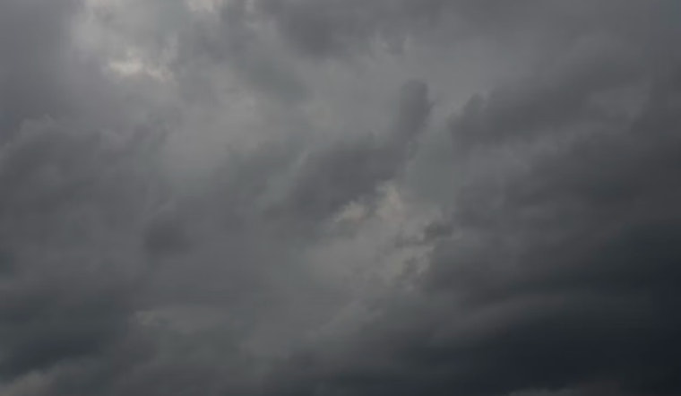
Clouds are parked over Portland this morning (Saturday, March 7, 2026), with a stray shower or bit of drizzle possible before the day turns milder. Highs should climb to around 60°F this afternoon, but the break is brief. A wetter pattern pushes in Sunday with steadier rain and a noticeable southwest breeze. The bigger curveball arrives Monday night into Tuesday, when a colder air mass could flip some valley rain to a quick rain‑and‑snow mix in the higher neighborhoods.
What To Expect This Weekend
Today brings mostly cloudy skies and about a 30% chance of spotty showers, with south-southwest winds around 5 to 6 mph and a high near 60°F. On Sunday, March 8, 2026, expect more consistent showers and highs in the mid-50s as an approaching front cranks up the rain chances. For a look at how we got here and yesterday’s soggy setup, check out the earlier cooldown-and-snow outlook.
Monday Night Into Tuesday: Slushy Spots Possible
A colder air mass arriving Monday night (March 9) into Tuesday morning (March 10) could drop snow levels enough for a few slushy patches around town, especially on north-facing hills. The National Weather Service office in Portland notes roughly a 10% chance of measurable snow on the valley floor north of Wilsonville, and about a 25% chance that Portland itself dips to freezing overnight. Odds climb in the West Hills and nearby foothills, where there is about a 40 to 60% chance of measurable slushy accumulation. Farther north and into the Coast Range, chances go up even more and the mountain passes could pick up several inches, although most lowland totals are expected to stay light, if they happen at all.
Commute And Outdoor Tips
Plan on wet streets and slower commutes Sunday and into early next week; pad your travel time for buses and MAX, and watch for slick pavement, puddles, and surprise splashes on bike routes. If you have to cross the Coast Range or Cascade passes, bring traction gear and check local road and transit updates before you go; there is a small but nonzero chance that slushy conditions develop in the hillier areas Monday night. Keep an eye on local transit alerts and the detailed forecast linked above before heading out.


