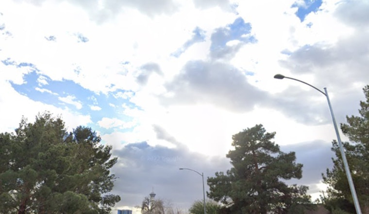
Friday, March 6, 2026, Portland woke up to a classic gray scene: light rain, low clouds and patchy fog, with temperatures hanging in the mid 40s. The steady rain is expected to stick around for much of the day, keeping streets slick and commutes slower than usual. Highs will top out near 50°F with a light south wind this afternoon.
Morning Rain And The Slog To Work
Rain is set to remain fairly steady through the morning and into the afternoon, with a high chance of precipitation and new totals generally staying under a half inch. It is just enough to gum up rush hour and turn bike lanes into splash zones. South winds should stay light around 5 to 8 mph, but heavier rain bands could briefly knock down visibility in the fog and showers. Commuters should build in extra time and watch for pooled water on lower lying streets. The National Weather Service has the latest timing and rainfall details.
Weekend Outlook
Saturday, March 7, 2026 is shaping up as the relative break. Expect mostly cloudy skies and drier conditions, with highs climbing into the upper 50s across the Willamette Valley, which makes it the better bet for outdoor plans. By Sunday, onshore moisture slides back into the region with more rain in the mix and highs around the mid 50s, with the wettest weather focused on coastal and mountain areas. The system was previewed on March 4 in our earlier Hoodline forecast. If you are scheduling events outdoors, aim for Saturday and keep rain gear at the ready for Sunday.
Early Week Chill And Snow Chance
Temperatures take a colder turn at the start of next week. Monday, March 9, 2026, and Tuesday, March 10, 2026, will bring in a cooler maritime airmass that could flip rain to a rain and snow mix overnight into early Tuesday. The National Weather Service notes that accumulating snow in most of the lowlands is unlikely, but the odds rise over the West Hills and at elevations above roughly 500 feet. Measurable accumulations across the interior lowlands remain low. In practical terms, most neighborhoods should plan on a wet commute, while higher spots may see some slushy patches if precipitation lines up with temperatures near freezing. Anyone with early plans on Tuesday should keep an eye on forecast updates Monday morning.
Transit And Safety Tips
Heavier periods of rain are likely to mean slower bus and MAX trips, so riders should check for service alerts before heading out and pad their travel time. TriMet posts advisories and real time updates at TriMet service alerts, and the agency also urges riders to give operators extra space at stops when conditions are wet. For those planning to travel over Cascade passes, keep close tabs on mountain forecasts and make sure traction gear is on hand. Highway crews will need time to clear heavier snow bands, and travel times can ramp up quickly.


