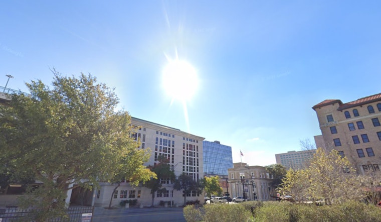
Sacramento is getting an early taste of summer this week, with bright sun and a solid warmup settling over the city. At Sacramento Executive Airport early Wednesday, March 25, the official observation checked in around 54°F, and forecasters expect afternoon highs to jump into the mid 80s, with inland neighborhoods likely topping out near 84°F. It is a noticeably warm stretch for late March and should keep outdoor plans feeling more like May than March through the afternoon.
Afternoon Heat And Wind Outlook
According to the National Weather Service, Wednesday's high is headed for about 84°F with light southwest to west breezes developing during the afternoon and an overnight low near 52°F. Thursday cools off slightly, with highs expected near 79°F, but the calm vibe ends there. North-northwest winds are forecast to kick up, with gusts around 22 mph in the city. The shift will dry things out a bit and could make for some noticeably breezy stretches along exposed corridors and by the rivers.
Heat Safety And Local Resources
Forecasters have flagged a minor heat risk across parts of the valley through the weekend, which means it is not extreme, but it is still worth paying attention. Stay hydrated, take it easy during the hottest hours of the afternoon, and try to push heavy yard work or long walks into the morning or evening. In serious heat emergencies the county opens cooling centers, and residents can call 2-1-1 or visit Sacramento County's heat page for local guidance. It is also a good time to check on older neighbors and make sure pets have shade and plenty of water.
Looking Ahead
Temperatures stay above normal into the weekend, with another warm day on Friday and highs in the low 80s expected through Sunday. A pattern change early next week could finally bring a cooldown. A chance of light rain arrives Monday night into Tuesday, paired with a drop in highs into the upper 60s, according to the National Weather Service. If you are banking on dry weather for outdoor plans early next week, it may be worth penciling in a backup date in case those showers decide to show up.


