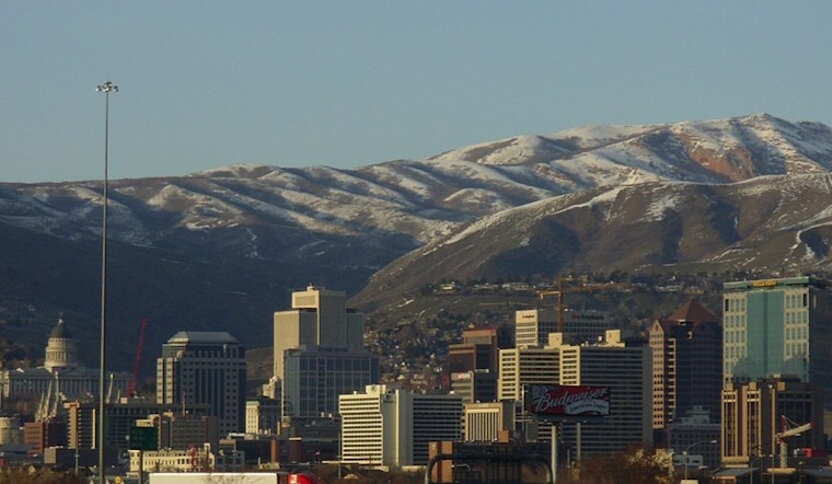
Salt Lake City is starting Sunday under a blanket of clouds and a chill near 39°F at Salt Lake City International Airport, with a light southeast breeze. The gray will not last long, though, as skies are expected to clear into a sunny afternoon and push valley temperatures into the upper 50s.
Afternoon Sunshine And Warm Week Ahead
Sun takes over Sunday with a high near 58°F and southeast winds around 5 to 7 mph. High pressure moves in Monday and temperatures jump into the mid-60s. A forecast high near 66°F would mark the warmest daytime reading since late December, before a mostly dry cold front slips through on Tuesday, according to the National Weather Service.
Tuesday Front And Gusty Mountain Winds
Tuesday's front is expected to be relatively shallow and mostly dry, but it will knock daytime readings back toward seasonal normals. Post-frontal westerly gusts could pick up across the northern Utah mountains and into southwest Wyoming, with gusts forecast to approach 45 mph in parts of Uinta County. Canyon commuters should plan for breezy conditions on Tuesday afternoon and evening. For additional context on late-week mountain snow and timing, see Hoodline's March 4 update on the late-week mountain snow outlook.
What This Means For Locals
Sunday and Monday are the days to lock in outdoor plans, with valley commutes and park time looking pleasant and dry. Tonight will be mostly cloudy with a low near 36°F, and Sunday night into Monday stays relatively mild with lows in the low 40s. Before heading into the high country later in the week, travelers should check updated forecasts, since mountain conditions could change after Tuesday.


