Oakland residents woke up today to a mostly cloudy, cool start, with temperatures near 51°F along the waterfront and inland neighborhoods set to climb into the mid-60s by afternoon. A quick-moving front is expected to sweep out the low clouds by late morning, but the real headline is the wind. Gusty northwest breezes will ramp up through the afternoon and persist into the weekend, making for a blustery late-day commute on land and choppy conditions on the water.
Morning Drizzle and the Drive In
A narrow band of low-level moisture is sliding across the region this morning and could squeeze out spotty drizzle or very light rain in parts of the Bay Area, especially near hills and bridge approaches today. Any measurable accumulation is unlikely, but you might need a quick tap of the wipers on the way to work. According to NWS San Francisco, the air mass behind the front is fairly dry, so skies should gradually clear through late morning.
Oakland Starts Socked In, Then Clears Out
On the East Bay side, neighborhoods including Oakland began the day under a patchy marine layer that is expected to thin by mid to late morning. Once the low clouds burn off, inland areas should warm faster than spots right on the shoreline. We covered the broader wind threat in detail yesterday.
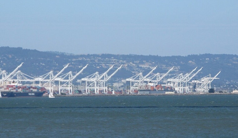
Afternoon Gusts and Rougher Seas
Behind the front, west-northwest winds will increase this afternoon and evening, with sustained speeds of about 6 to 13 mph and gusts up to roughly 22 mph across the city. More exposed coastal areas and higher hills will take the brunt of the stronger hits. Around airport approaches, frequent gusts could reach about 35 knots between roughly 3 PM and 5 PM today, so expect some bumpy ferry rides and choppy flight operations in that window. According to NWS San Francisco, Small Craft Advisories and Gale Warnings are in effect for coastal waters and Monterey Bay, with seas building to 12 to 15 feet tomorrow until Friday, so mariners should avoid unnecessary trips and make sure loose gear is secured.
Weekend Outlook
By Saturday and Sunday (March 7–8, 2026), the pattern is expected to flip offshore, bringing drier air and warmer afternoons. Many inland locations should reach the low to mid-70s while mornings dip into the 40s under clear skies. If you are planning to be outside, it looks like prime sunshine weather, but you will still want layers for the chilly starts.


