A shallow layer of freezing fog clung to parts of Seattle early Monday, cutting visibility in some neighborhoods while temperatures hovered in the mid-30s. The sun is expected to break through by midmorning, and highs should climb to around 50°F with light north-northeast winds.
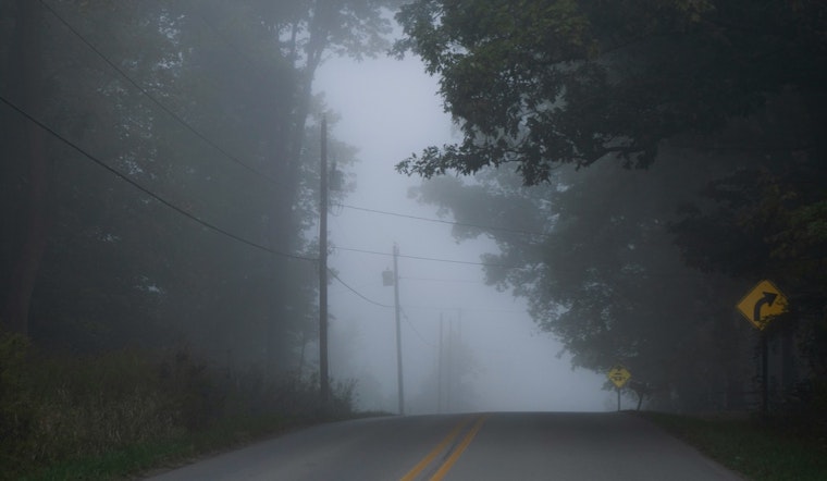
Foggy Mornings, Sunny Afternoons
Patchy freezing fog will hang on across the southwest interior and portions of King and Pierce counties through the first half of the morning, mainly on surface streets and in low-lying spots. By late morning, winds will ramp up to roughly 6 to 12 mph, which should be enough to scour out the low clouds and set up a mostly sunny afternoon with highs near 50°F.
Rain Moves In Late Tuesday Night, Steadier Wednesday
A Pacific front is on track to push rain into western Washington after 11 p.m. Tuesday, March 31, with showers becoming steadier through Wednesday, April 1. Expect about a 60% chance of rain Tuesday night and around a 90% chance on Wednesday, with new rainfall totals between a quarter and a half inch and mountain snow levels near 3,000 feet, according to National Weather Service Seattle.
Cascades and Passes
The Cascades are set to pick up most of the snow, with 2 to 4 inches possible through Wednesday and higher totals on Mount Rainier. Travel over the passes may slow down or become restricted Wednesday evening. Snoqualmie Pass may see less snow than some of the other routes, but drivers should still be prepared for full-on winter conditions and possible traction device requirements.
Boats and the Sound
A Small Craft Advisory was in effect early Monday for portions of the northern inland waters, including the San Juan Islands. Seas are forecast to build to 8 to 10 feet on Wednesday as the front moves through. For background on the earlier March 10 punch of wind and waves, see rain, wind and Cascade blizzard.
Quick Take
Monday: sunny, high near 50°F. Tuesday: warmer with a high near 56°F and rain likely after 11 p.m. Wednesday: rain and breezy with a high near 50°F. If you are heading over the passes, check WSDOT and the National Weather Service before you go.


