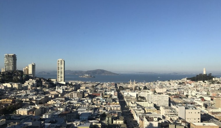
San Francisco started today, under clear skies and that classic cool-morning, warm-afternoon setup. Temperatures were sitting in the mid‑50s at daybreak, with a bright, dry day on tap. Most neighborhoods are expected to warm up quickly, with inland spots heading into the low to mid‑70s by afternoon while the shoreline stays a few degrees cooler.
Highs are forecast to land near 76°F today, with lows around 53°F overnight. According to the National Weather Service, slightly above‑normal temperatures should hold through the weekend, before a weak frontal passage brings in cooler air Wednesday into Thursday.
Afternoon Heat And Neighborhood Differences
As usual, the warmest readings will be inland and away from the immediate bay, while coastal neighborhoods and the waterfront stay a bit cooler thanks to sea breezes. Through midday and the afternoon, most of the city should sit in the upper‑60s to mid‑70s, with the hottest pockets showing up on the Peninsula and in the valley areas.
Wednesday Winds And Marine Advisories
A weak front sliding through on Wednesday will crank up the onshore flow and bring gusty winds to exposed coastlines and ridgelines. The National Weather Service has posted Small Craft Advisories for parts of Monterey Bay and a Gale Watch for offshore waters from Wednesday evening into Thursday, so boaters and ferry riders are urged to check the latest marine forecasts before heading out.
Weekend Outlook And Rain Chances
The rest of the week looks mostly dry, with highs holding in the upper‑60s to low‑70s through the weekend. There is a slight chance of light rain late Sunday night into Monday as the pattern starts to shift, and forecasters see an increasing potential for light showers in early April.
Outdoor plans are still a good bet, especially in the morning or evening when it is most comfortable. Stay hydrated, keep an eye on conditions around the water during the midweek wind event, and check the latest watches and advisories from the National Weather Service and local officials before traveling.


