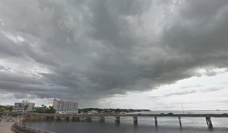
Tampa is starting today, mostly sunny and mild in the upper 60s, but the calm will not last. Highs near 85°F are expected this afternoon before showers and thunderstorms fire up around midday and become more widespread later on. Any storm that develops could bring brief heavy downpours, frequent lightning and gusty winds that may slow the evening commute, so if you have outdoor plans, keep the rain gear handy and build in extra travel time.
What To Expect Today
Gulf moisture, daytime heating and colliding sea-breezes will help storms bubble up from about noon through the late afternoon, with forecasters putting the probability of precipitation near 70% and new rainfall amounts around a tenth to a quarter of an inch. Some storms could produce damaging wind gusts and small hail, with a marginal risk for severe storms across much of the peninsula; the main concerns are strong winds, hail and heavy downpours. South-southeast winds of roughly 2 to 9 mph will shift and pick up near storms, and visibility can drop quickly in heavier rain. According to the National Weather Service forecast discussion for Tampa Bay Ruskin, plan on messy afternoon conditions and brief bursts of heavy rain.
Monday Front And Cooler Temperatures
A strong cold front arriving Monday, March 16, 2026, will bring another round of showers and thunderstorms before much cooler, drier air settles in. Highs will be in the low 80s on Monday with temperatures falling through the day, followed by a much cooler Tuesday, March 17, 2026, with highs near 62°F and overnight lows in the 40s. Some inland spots could slip into the 30s on Tuesday and Wednesday mornings. Wind gusts may reach the teens to low 20s mph on Monday as the front pushes through, so expect a sharp temperature change after the warm weekend. If you are in a colder inland neighborhood, move vulnerable plants and outdoor pets indoors Monday night.
Boaters, Beaches And Safety
Seas are expected to deteriorate as storms roll through, with small-craft caution possible by Monday and a heightened rip-current risk at area beaches into midweek, so swimmers and small-boat operators should be extra careful. If you plan to be on the water Monday, March 16, or Tuesday, March 17, 2026, keep a close eye on radar and consider postponing nonessential outings; lightning can strike well away from the heaviest rain. For background on the stretch of steamy near-record heat leading up to the change, see our earlier coverage.


