Atlanta woke up Monday to a classic spring setup: mostly cloudy skies, temperatures in the low 60s, and about 60°F logged at Hartsfield‑Jackson and nearby stations. It will warm up nicely this afternoon, with highs near 79°F and a steady east wind sending gusts up to 25 mph through the metro. Outdoor plans are in good shape for Monday, but this calm stretch is not expected to last, with stronger storms lining up for later in the week.
Afternoon Winds Pick Up
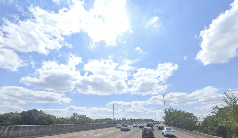
East winds around 10 to 15 mph will move in this afternoon, with gusts reaching up to 25 mph and making it feel noticeably breezy across the city and suburbs. Cyclists and anyone hauling lightweight outdoor gear should plan on fighting the wind a bit, and unsecured patio furniture could rattle or even take a short trip across the yard. Travel impacts should stay minor, though high‑profile vehicles could feel those gusts along the more exposed stretches of I‑85 and I‑75.
Storms Return Tuesday Into Wednesday
A stalled front will nudge rain chances back into the area on Tuesday, with the most organized action expected Tuesday night into Wednesday. According to the National Weather Service, forecasters are tracking multiple rounds of showers and thunderstorms and note that “some thunderstorms may become strong to severe,” with the greatest threat focused across northern Georgia. Rain coverage climbs to roughly 40% on Tuesday and up to about 80% on Wednesday, bringing the potential for heavy downpours and gusty winds that could briefly snarl commutes and disrupt outdoor events.
If you have evening plans Tuesday or Wednesday, it is worth lining up a backup option and preparing for pockets of heavy rain and lightning. Secure loose outdoor items ahead of time and check transit alerts before heading out. For more on how the weekend’s fog gave way to this warmer setup, see the weekend fog recap.


