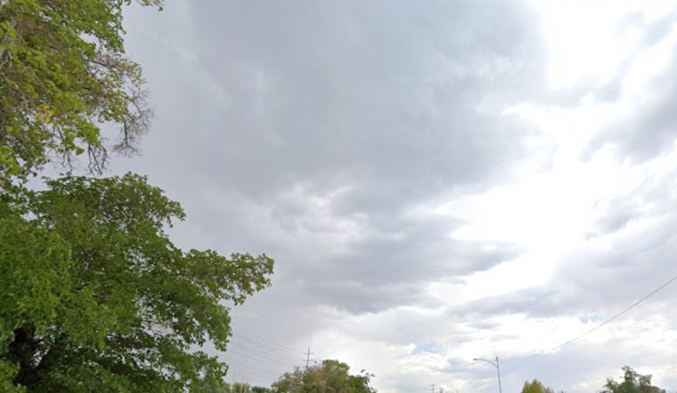
San Antonio wakes up cloudy and muggy this morning, with temperatures hovering near 72°F as a sharp cold front barrels toward the city. That front is expected to arrive in the mid- to late-morning hours on Saturday, April 18, bringing around a 50% chance of showers and scattered thunderstorms through the afternoon. Temperatures should top out near 76°F before sliding back into the upper 60s later, while outdoor plans contend with gusty winds and brief downpours through the midday and afternoon.
Afternoon Winds Crank Up
East-northeast winds of 5–20 mph will ramp up from late morning into the afternoon, with gusts potentially reaching 35 mph and turning unsecured tents, umbrellas, and lightweight patio furniture into problem children. Winds will swing around to the north-northeast tonight and stay breezy, with sustained speeds increasing to 15–20 mph and continued gusts. According to the National Weather Service Austin/San Antonio, gusts could approach wind-advisory levels in more exposed spots.
Rain Timing and Totals
Light rain showers may start popping up between about 10 a.m. and 1 p.m., with a better shot at showers and thunderstorms from roughly 1 p.m. to 4 p.m., keeping overall odds today near 50%. Tonight, shower and thunderstorm chances climb to around 70%, and new rainfall amounts of roughly one-half to three-quarters of an inch are possible in spots. Most showers should be brief and on the lighter side, but heavier downpours could leave standing water on low-lying streets and slow traffic.
What It Means for Commutes and Events
Plan on a little extra travel time if your drive lines up with any of the heavier rain bursts, and consider moving outdoor gatherings indoors or at least securing canopies and signage before the midday gusts really get going. Forecasters at the National Weather Service currently view the severe threat as low, and isolated strong storms may bring brief heavy rain, small hail, or gusty wind, but widespread damaging wind or tornadoes are considered unlikely. For the latest on timing, watches, or warnings as the front works through, keep an eye on updates from the National Weather Service and local outlets.


