New York City is rolling into Saturday, April 18, 2026 on the cooler side, with mid 50s on the thermometer and a light east breeze slipping a marine chill along the waterfront. A weak area of high pressure keeps things mostly dry through the day and helps hold afternoon highs to the upper 50s along the coast, while inland neighborhoods manage to climb a few degrees warmer. Clouds will build in tonight as a cold front starts pressing in from the west.
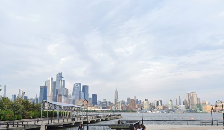
Tides And Coastal Flooding
Coastal Flood Advisories are posted for many area shorelines from late Saturday night into early Sunday. Some zones are covered from about 8:00 PM Saturday, April 18 to midnight, while others keep the advisory in place through 2:00 AM Sunday, April 19. The uptick in risk is tied to astronomically high tides following Friday's new moon, so low-lying streets, boardwalks and south facing shorelines will need an extra eye overnight. According to the National Weather Service, minor coastal flooding is expected around the times of the high tide cycles.
Sunday's Rain And Wind
A cold front swings through Sunday morning, bringing showers and thunderstorms that spread across the region and may feature a few heavier downpours. Rain totals are forecast to stay on the lighter side overall, on the order of a few tenths of an inch, although brief heavier bursts could still lead to ponding on city streets. Behind the front, northwest winds kick up with gusts likely in the 20 to 25 mph range Sunday afternoon and evening, and temperatures slide back into the 40s.
Commuters And Outdoor Plans
Early risers should plan for low clouds and pockets of patchy fog, especially near the East River and the harbor, where visibility and flights could run into some issues. Saturday remains mostly workable for outdoor plans, but waterfront events and late night outings should be ready for tidal flooding concerns. Sunday’s showers and gusty breezes will make outdoor plans a lot more hit or miss. If you live or park near the water, it is a good night to move the car off those blocks that always take on water.
Next Week's Rollercoaster
A markedly colder air mass settles in early next week, bringing nighttime lows well below typical mid April levels away from the urban core. By Monday night, many suburbs look cold enough for frost, before a gradual warmup pushes readings back into the 60s by midweek. For context on how this cooldown follows the summerlike sizzle earlier in the week, see the recent preview.


